Grizzly Peak- 13,753’
10.23.2023
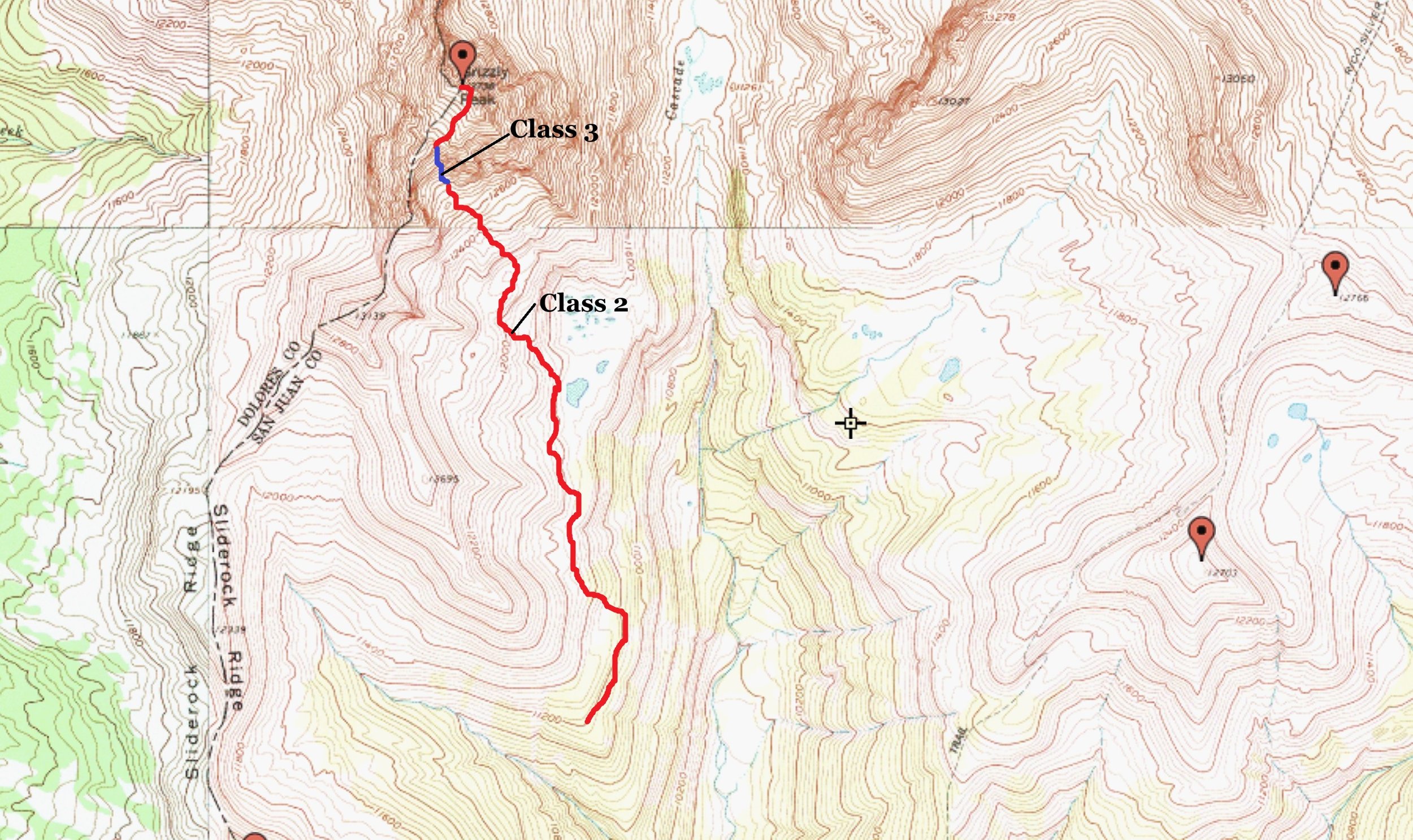
Southeast Gully- Class 2
Trailhead- Cascade Creek/Hermosa Park Road
6.3 Miles | 2,622’ gain
Starting elevation- 11,176’ | Ending elevation- 13,753’
Kiefer Thomas, Regina Thomas
“The dog is too sore. She’ll never be able to make it to Wildhorse. I know you want that peak and it is wicked looking, but we just can’t do that to her.” I said.
“It just sucks. We shouldn’t have done that lowly, crap peak today. I mean, it was easy but the heat wrecked her. So what do you want to do?” Regina said despondingly.
“I don’t know. We should probably lay low tomorrow and let her heal. Maybe find something shorter on the way home around Wolf Creek Pass.”
We did a 11.4 mile trek up UN 13,140’ and Cow Benchmark last Friday, a high desert 8’er just south of Del Norte on Saturday and now, we weren’t sure what to do. We were lying low in South Fork (more of a massive RV Park than an actual town) letting the poor dog sleep. The prior day’s mileage and today’s heat (it got to 84°) sapped Kaiah. Regina wanted to close out the Engineer Pass area 13ers on this trip but it wasn’t going to happen. So we decided to drive home Sunday morning. I went into work for a half day (this is my busy season) while Regina decided what we could do. I recently made the “executive decision” to change my schedule to working 4-10’s, so we both now have three day weekends. So because of that, we spontaneously took Monday off and decided to tackle a bicentennial in our backyard…Grizzly Peak!
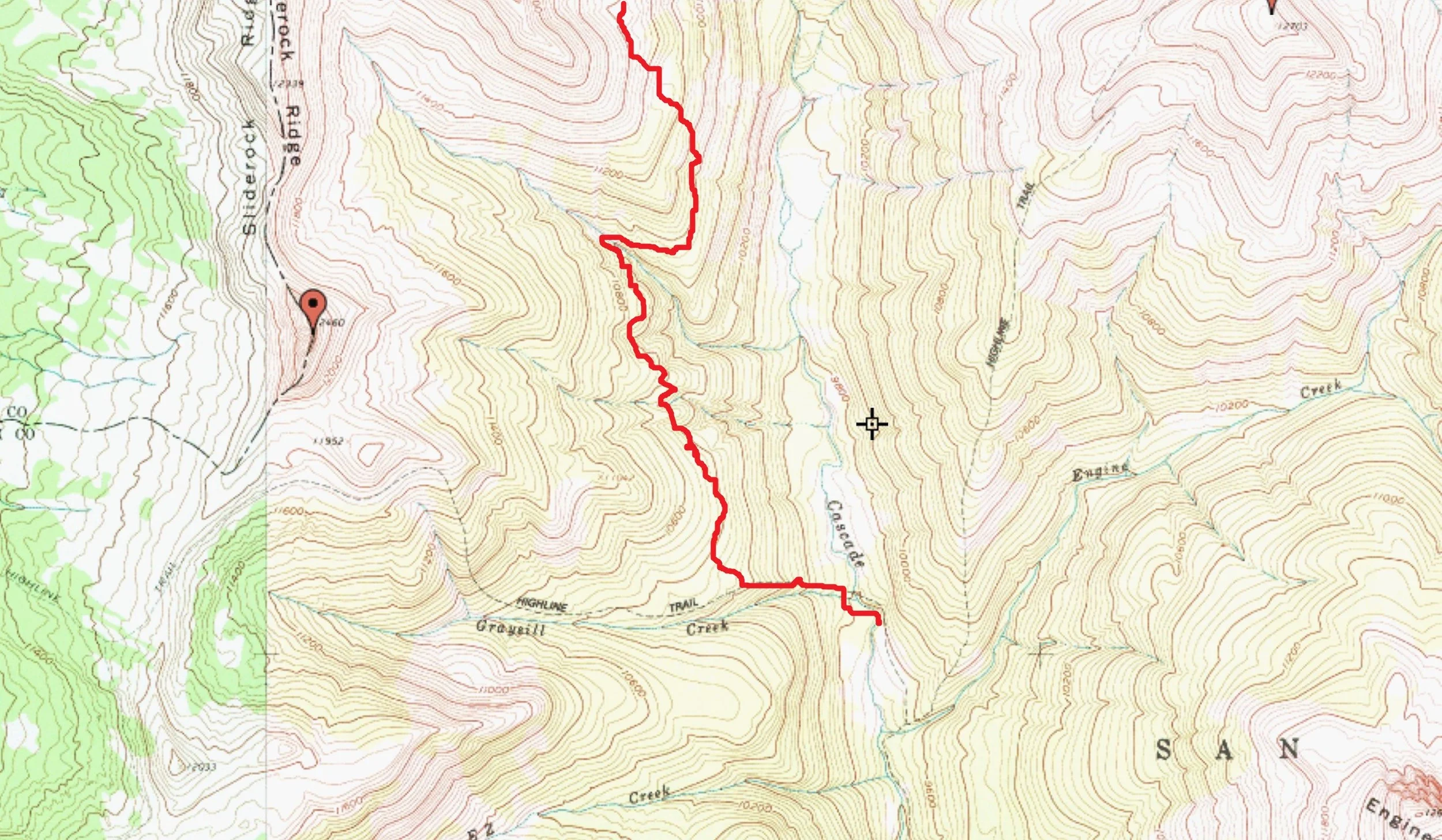
I didn’t know much about Grizzly other than it’s a high bicentennial, locals have said the approach road sucks (it does) and I look at it every day. So we tapped the dog-sitter on the shoulder, left at the ungodly hour of 8:20 am and drove Hermosa Park Road to the terminus of FSR #579 (AKA: Cascade Creek Road) where we arrived at 9:45 am.
Cascade Creek Road (beta)
I know there is a lot of ambiguity and uncertainty regarding this road, which is rather surprising considering the elevation of the peak and relatively short round-trip distance. But here are some nuts and bolts….
From the entrance to Purgatory Resort off hwy. 550, the total mileage is 14.7 miles, set your odometer. From the entrance, drive up into the resort. At the four-way intersection, continue straight up the hill and take the right-hand dirt road (Hermosa Park Road). This is FSR #578. It is 3.6 miles from the Purgatory entrance to the intersection of #578/#579. Turn right onto #579 (Relay Creek Road) and follow for 1.1 mile. At the junction of #579/#580, turn right again onto #579 (Cascade Creek Road). FSR #580 (Relay Creek Road) keeps going straight. From this junction, the total distance is 10 miles to the end of the road. It doesn’t really go anywhere. The first 1.4 miles are actually quite good. The remaining 8.6 miles are rough.
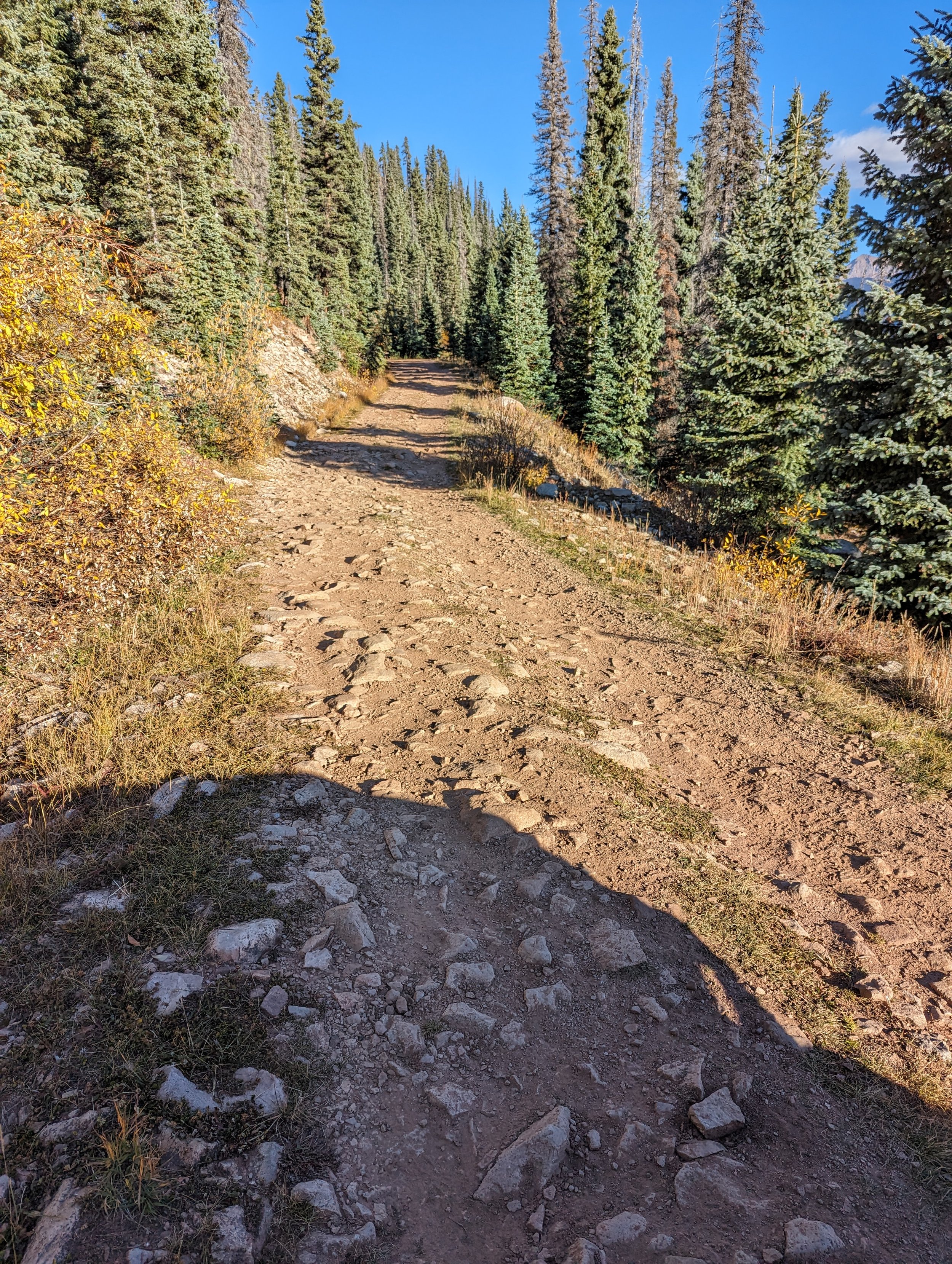
The road isn’t technical and not that hard, but there is a staggering amount of potholes, divets and small rollers but surprisingly, not as much embedded rock as one would expect. All the stream crossings, of which there are several, are small and forgettable. There are PLENTY of camping areas along the span of the road, some quite nice. To drive these 10 miles, it took me roughly an hour & 15 minutes in a stock Tacoma with aggressive off-road tires. A regular 2-wd vehicle could do it, just make sure to hit all the holes and divets at an angle or you’re going to scrape. The trailhead/end of the road is large enough to accommodate perhaps 6-8 vehicles. There is a LARGE fire ring at the start of the trail and honestly, this would make for a great place to camp.
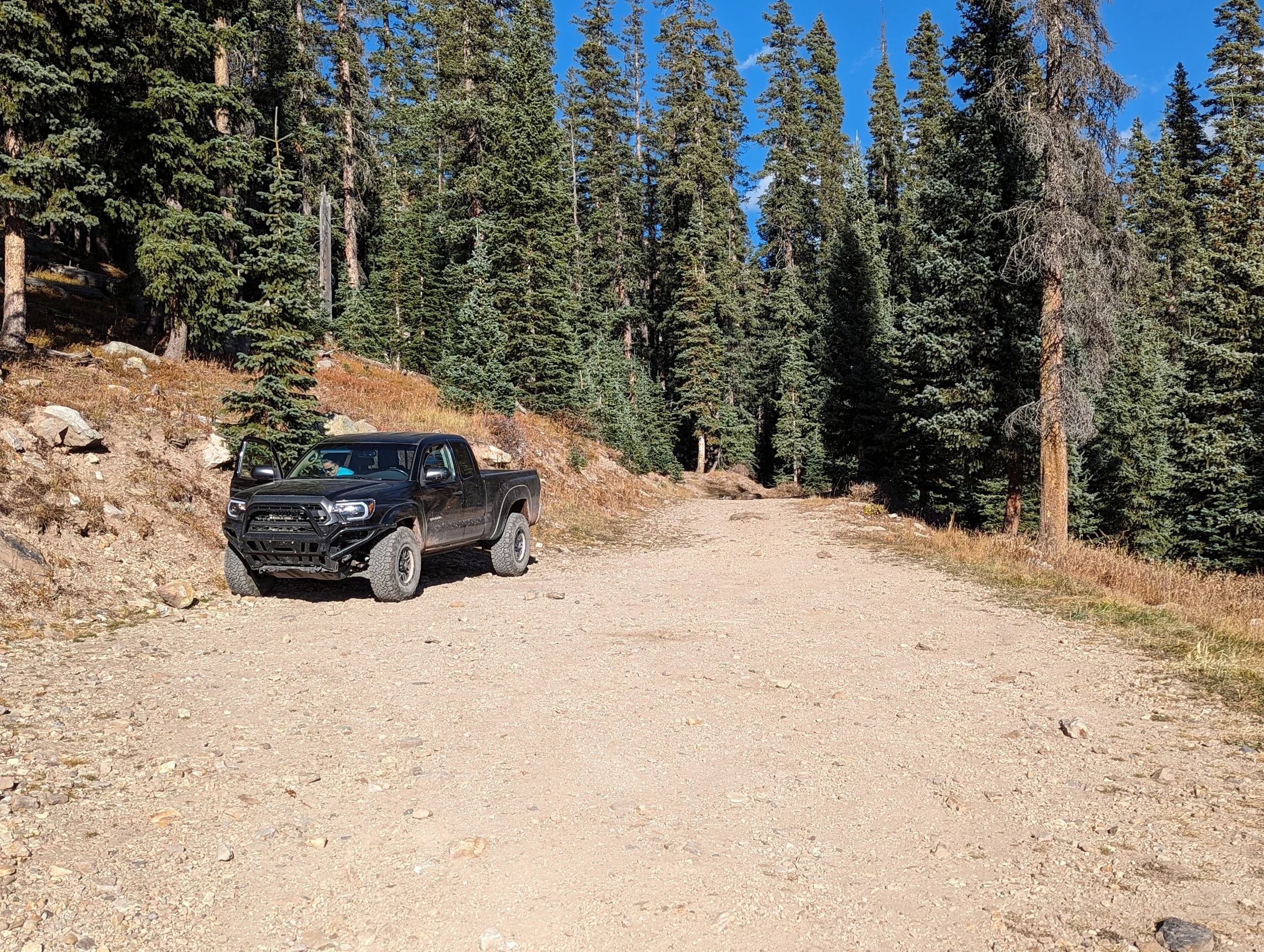
Cascade Creek Road

Engineer Mountain (12,980') and "Little Engineer"

Grizzly Peak- on the right

Grizzly Peak

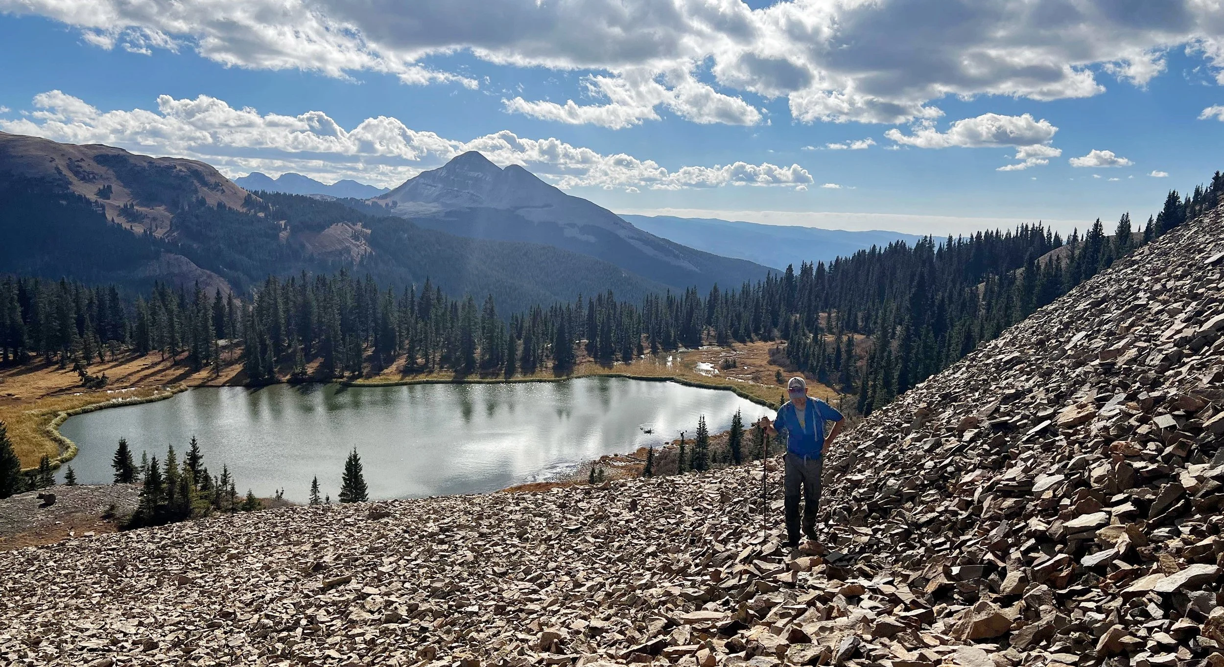
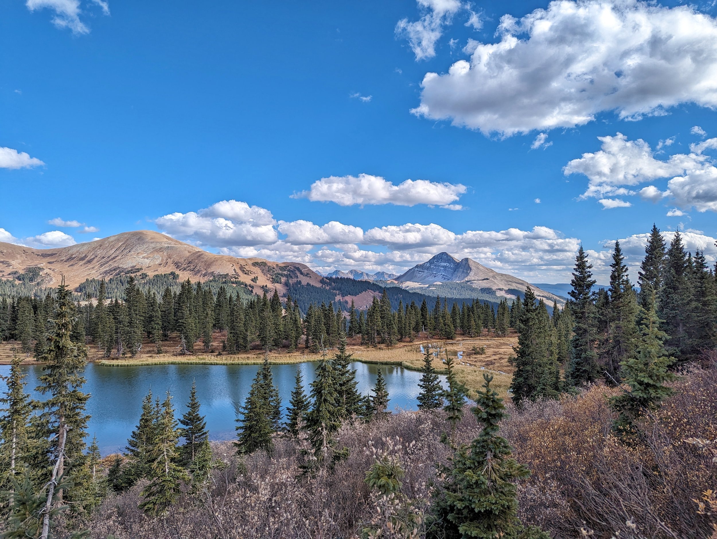
Beautiful lake at treeline
San Miguel Peak (13,756')
We quickly caught the Colorado Trail and followed it for .7 mile to the unmarked trail junction with Grizzly Peak. This is a left hand trail. There is a small sign on a tree opposite the junction and I further marked it with laying down sticks paralleling the trail. If you happen to miss this junction (staying on the CT), you’ll be in a frustrating mess while ascending small cliffs and steep slopes to regain this unmarked trail (it’s not on Gaia, Strava or on topos).
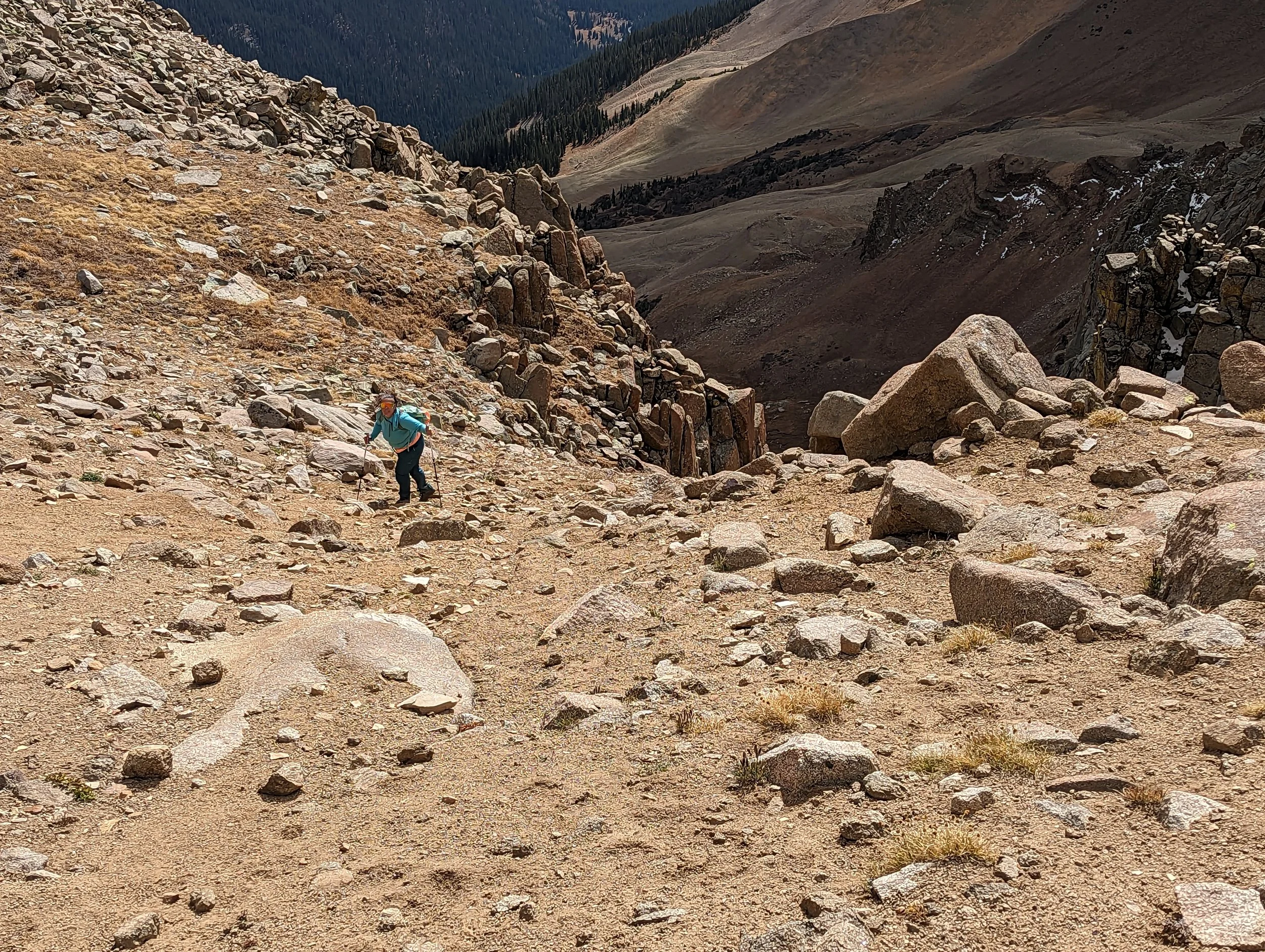
The trail had a few small cairns along it and while we were up there, I built a few more. However, for an unmarked trail, it’s remarkably easy to follow. This trail ascended into the lower basin below the SE face of Grizzly. This was a great place with even better views out towards Rolling Pass. The camping here would be great as there is water. Once past the three rock glaciers down below (which were impressively HUGE), the terrain switched over to marshy tundra, boulders and boilerplate rock. Along this short, sub-alpine section, the trail completely disappears. And honestly, you can’t go wrong in terms of route finding since most of the slope/terrain works.
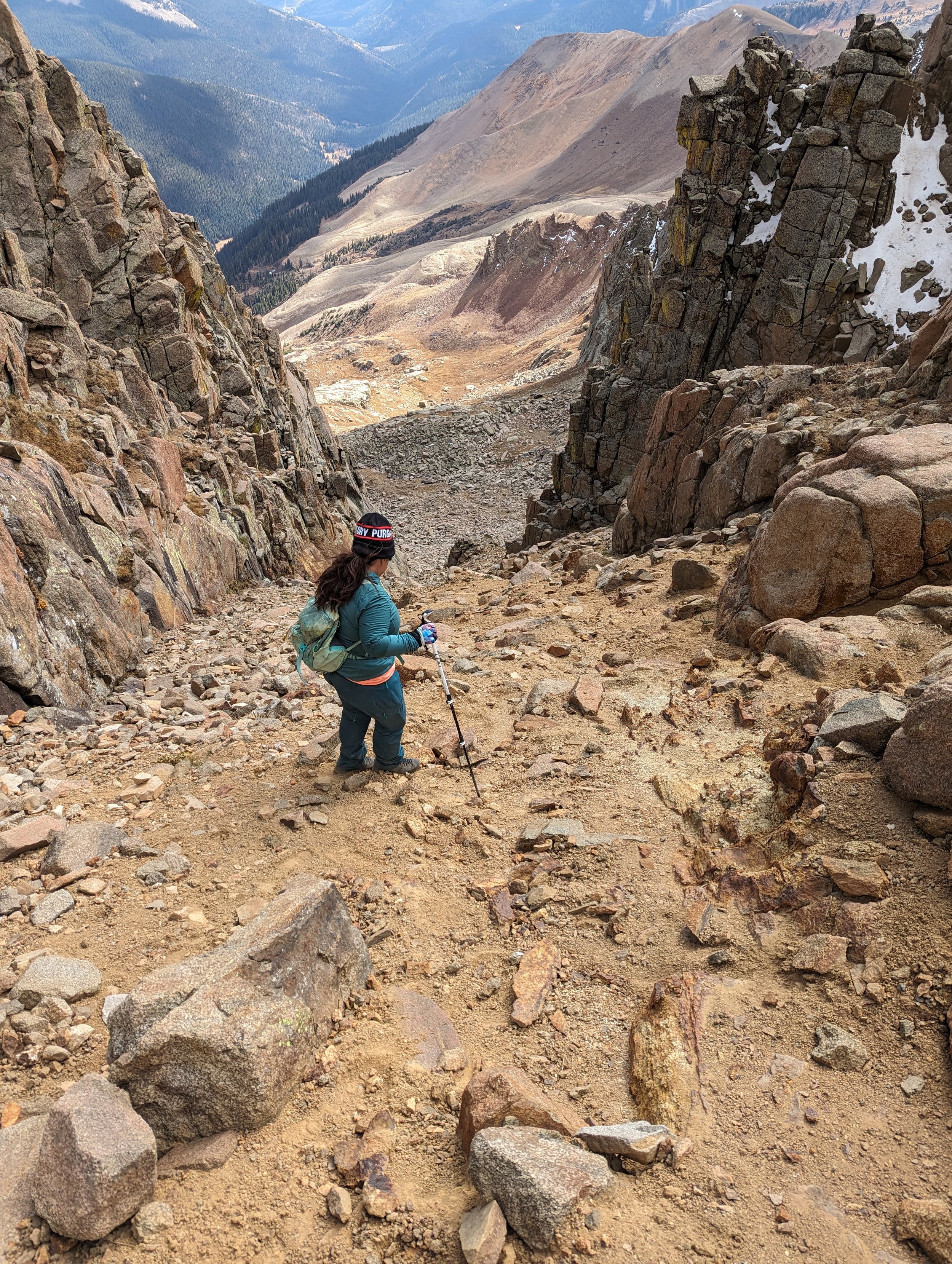
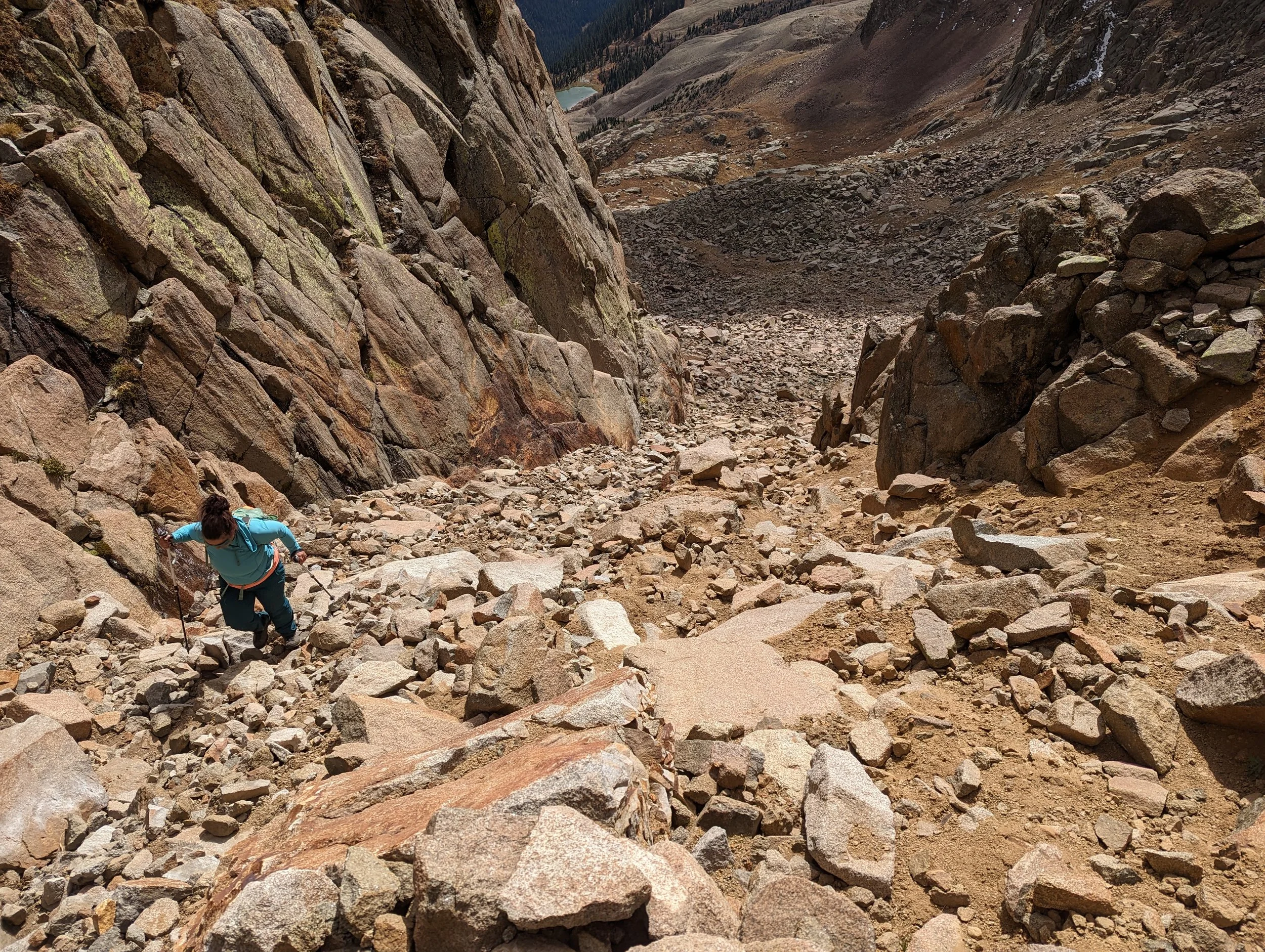
We headed up towards a short, southeast-facing couloir which, we could now see. Even during those brief interludes where we lost sight of this gully, the ridge remains visible and makes for a great beacon. Just like with the tundra below, there really isn’t any wrong way up into this gully. The rock was surprisingly stable and we ascended and traversed into it from the far right side cutting off a significant portion of the apron. Once we were in the gully, there was a small network of interlacing paths pushing up through the dirt and scree like a glaciated, moraine stream. Again, there were no wrong decisions. Later in the day, we descended straight down the gully to the bottom following a network of good social paths.
What I did find interesting, is around half-way up, one can easily see the exit….it’s not. There really wasn’t any ‘exit’ like what most people are used to. The top rolls off into a gentle slope so you never hit any kind of demarcation like what a normal ridge imparts. It would be nigh of impossible for a cornice to form on this in winter. I sat on a rock and waited for Regina to catch up. We ate some snacks and rested since we were pushing it pretty hard today.
Regina descending the gully
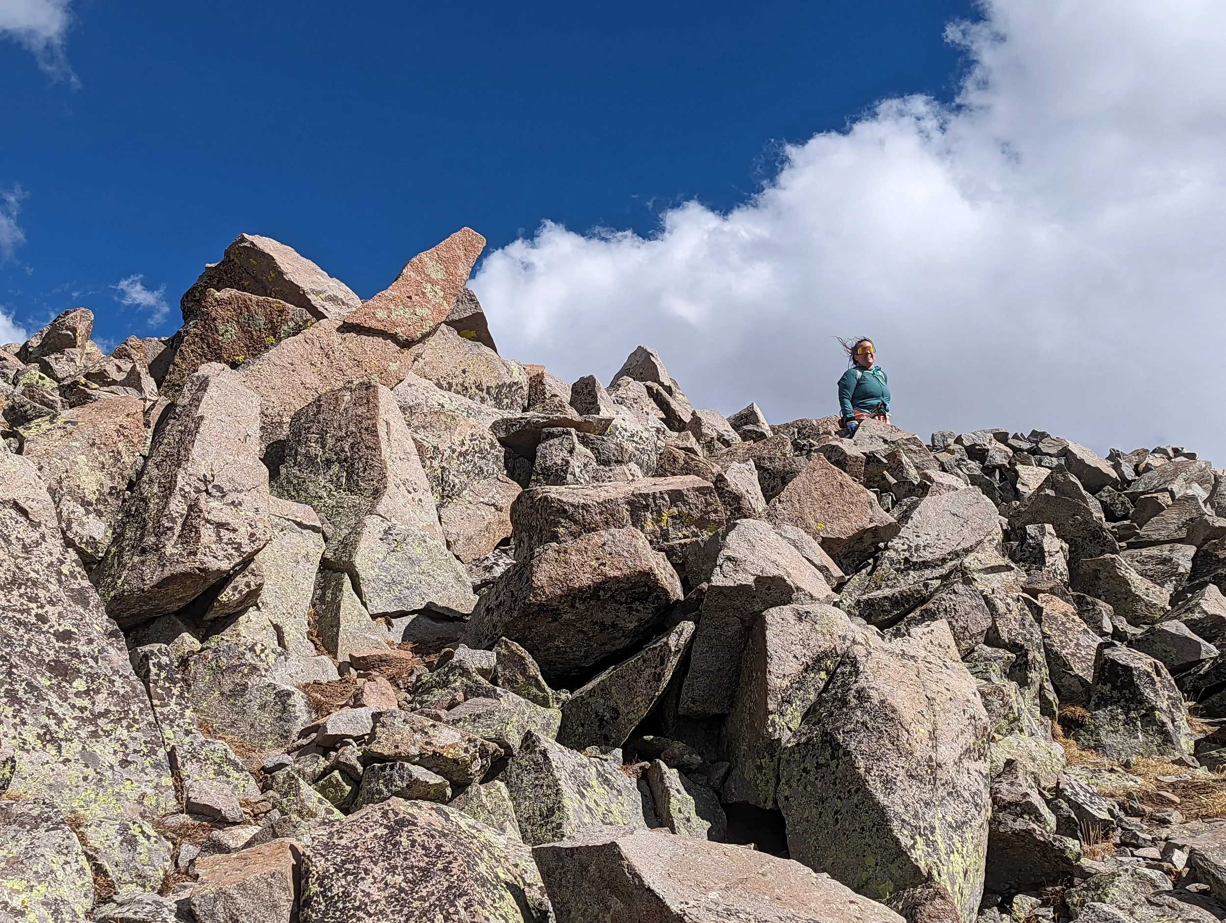
Regina near the exit at the top of the gully
Myself traversing a lower rock glacier

Regina ascending a social trail up a rock glacier
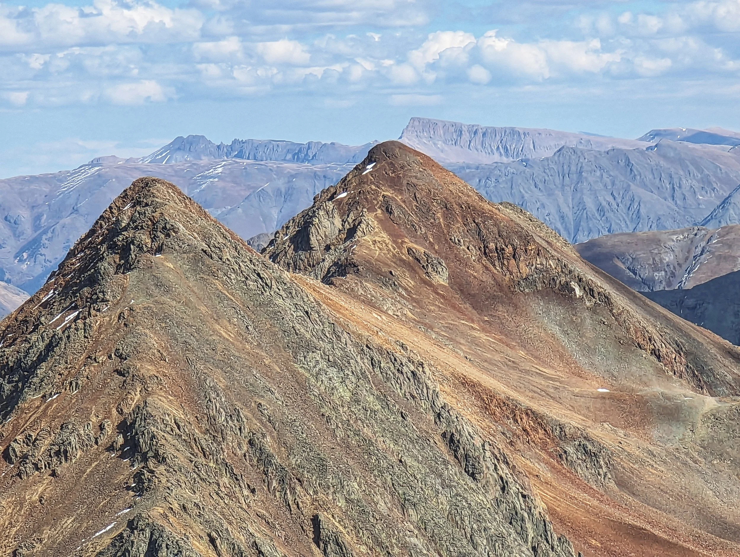
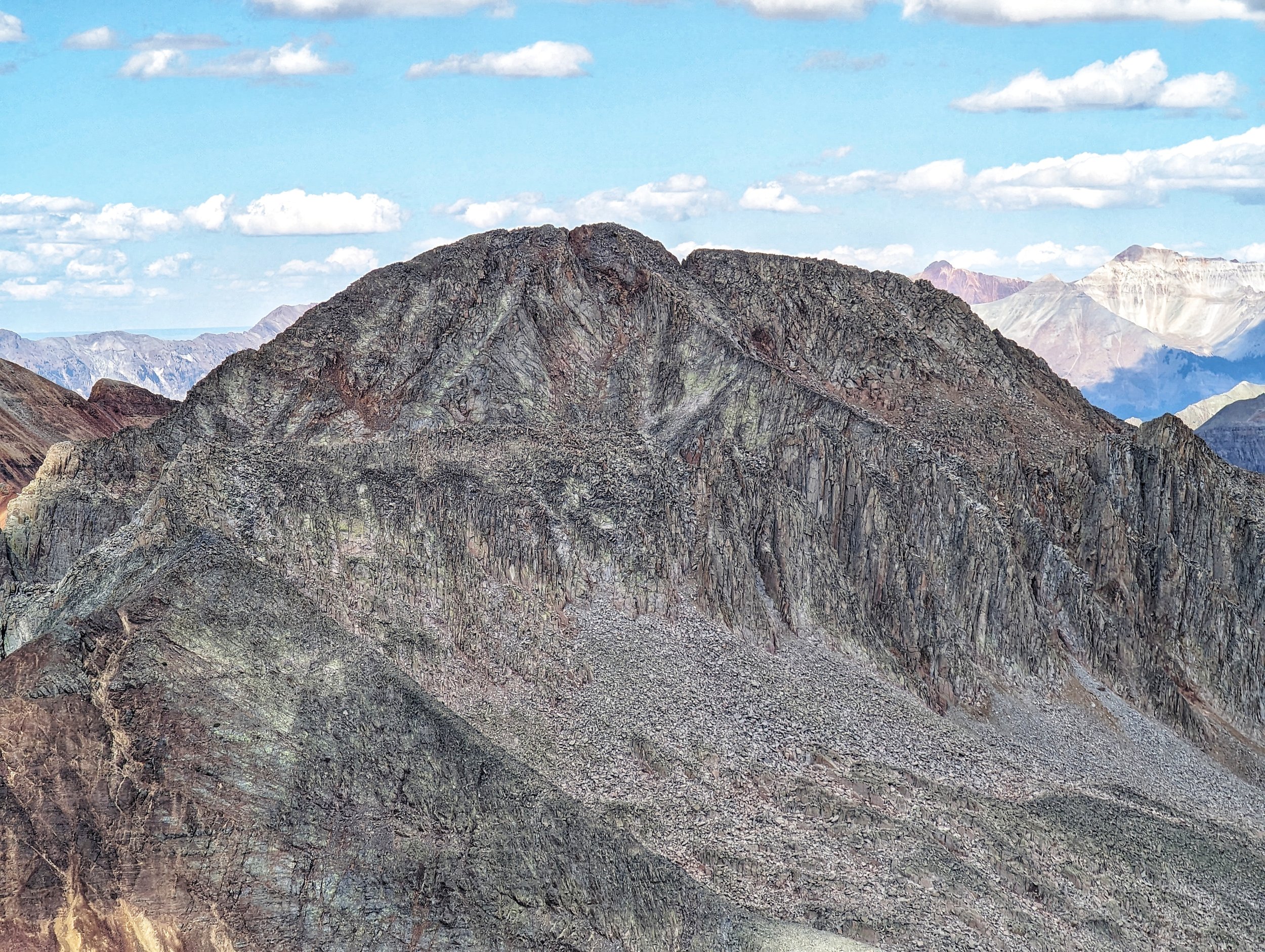
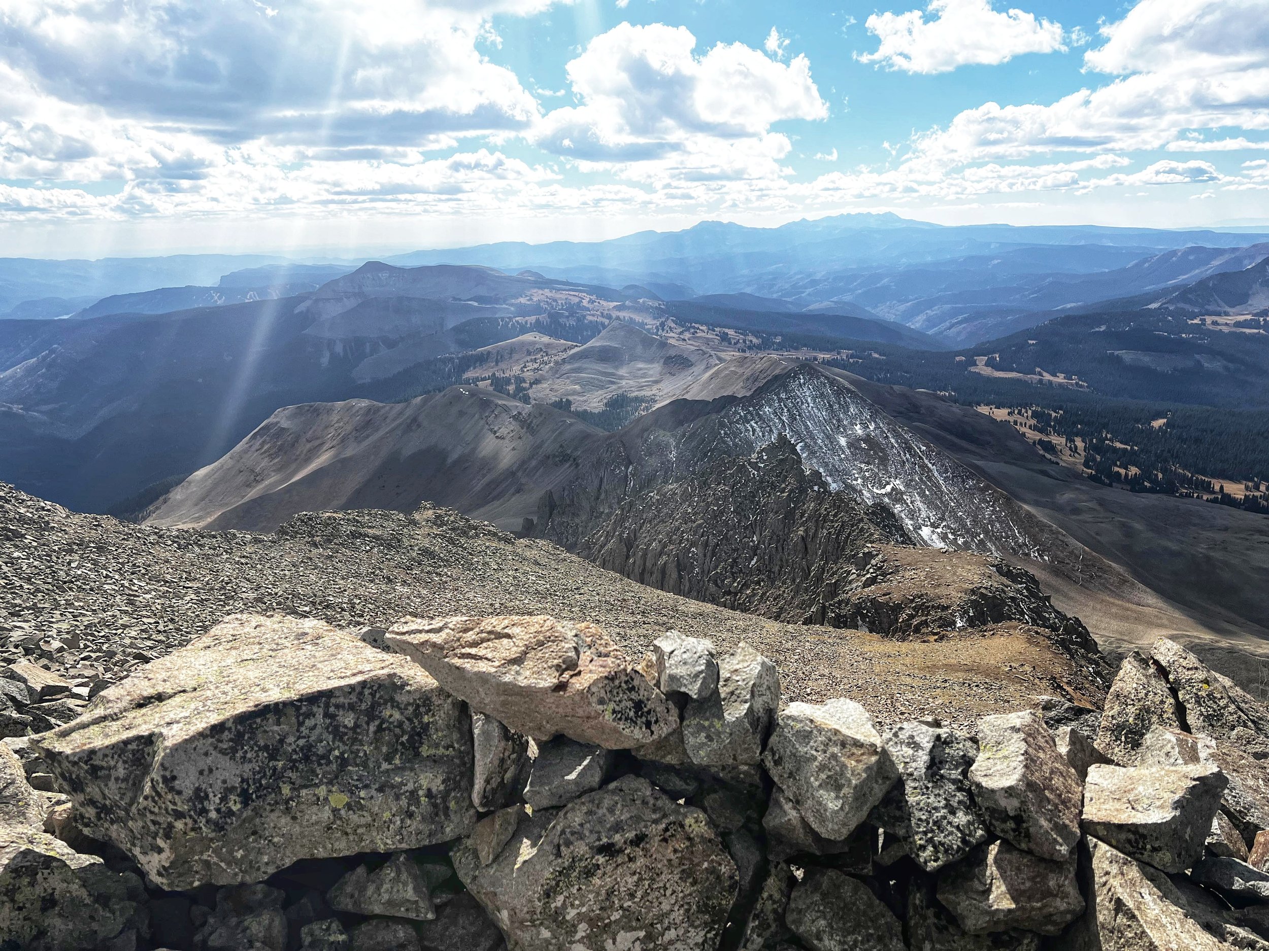
Rolling Mountain- 13,697' (the middle peak)
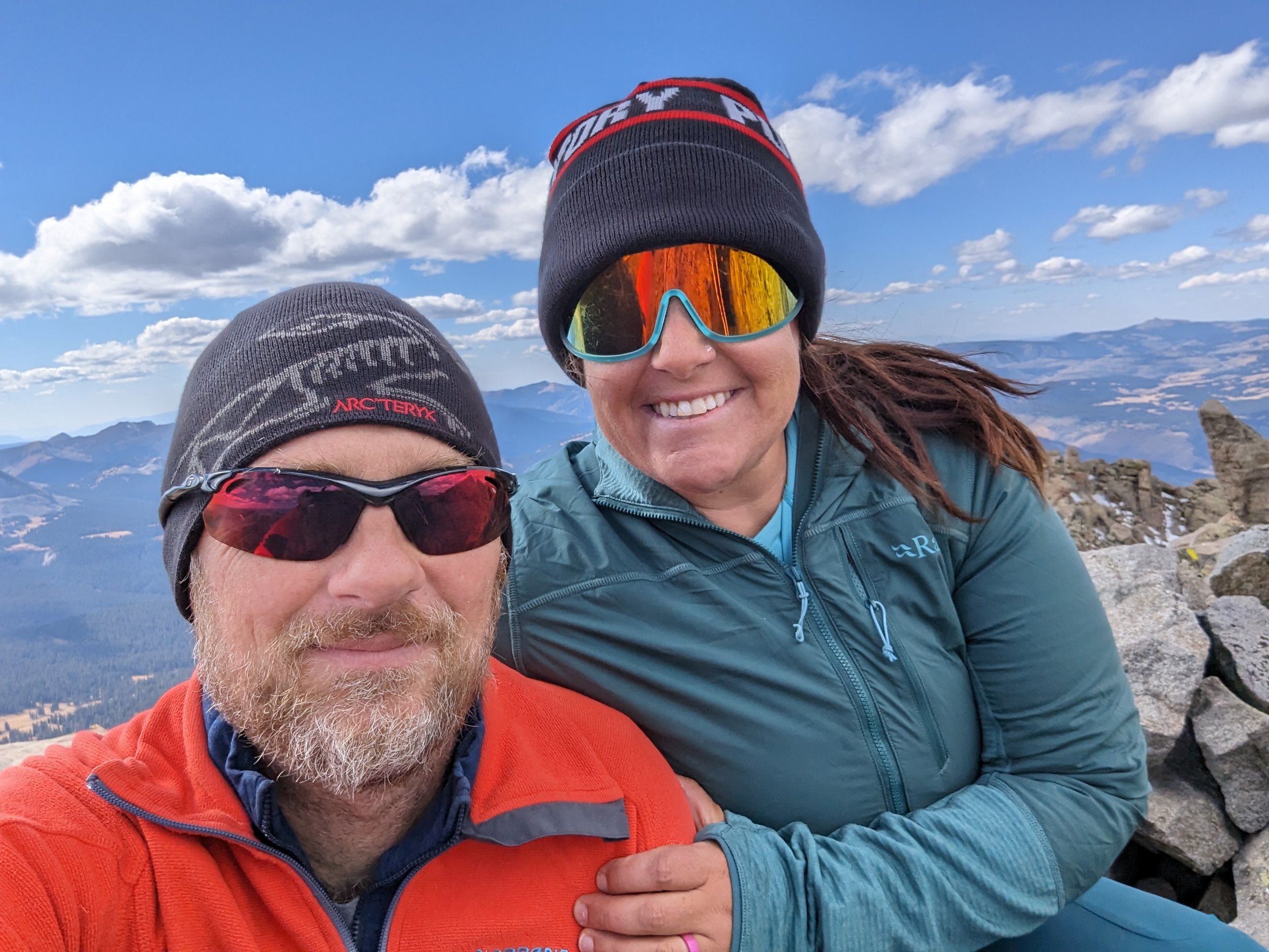
Summit Selfie
The “ridge” or at least where we were sitting topped out at 13,418’, so decently high. We could see the summit from where we were sitting. There is a loose framework of interconnecting social paths leading north towards the summit. For the last 300’+ that we had to hike, even I was surprised at how fast those feet melted away.
The summit was impressive! It wasn’t so much a point or pinnacle along the ridge as it was a sheltered alcove at the highest point. The views were incredible and with the fairly cold, pre-winter winds blowing, the rock walls were welcomed. The 360° views included: Rolling Pass, Twin Sisters, Purgatory Ski Area, San Miguel Peak and T10, Ice Lakes Basin, The Twilights and of course, Potato Hill (AKA: ‘The Spud’).
The existing CMC tube was missing a register and cap. I swear I’ll never know how such things go missing; unless it’s someone who intentionally takes them? This year alone, I must have mailed off 6-8 registers (in rough shape) from all over Colorado to the CMC for their archives.
We retraced our steps down and arrived back to the truck in no time. The hunters whom had met earlier in the morning (they were scouting for a future trip) had already gone. I was hoping to talk to them some more. I’ve never been a hunter but I’ve accompanied several friends in years past in scouting & tracking game. That part I rather enjoy.
Grizzly is an easy peak and surprisingly forgiving. It’s just the approach drive that kinda saps your motivation.
Regina inside the gully
A lake at treeline
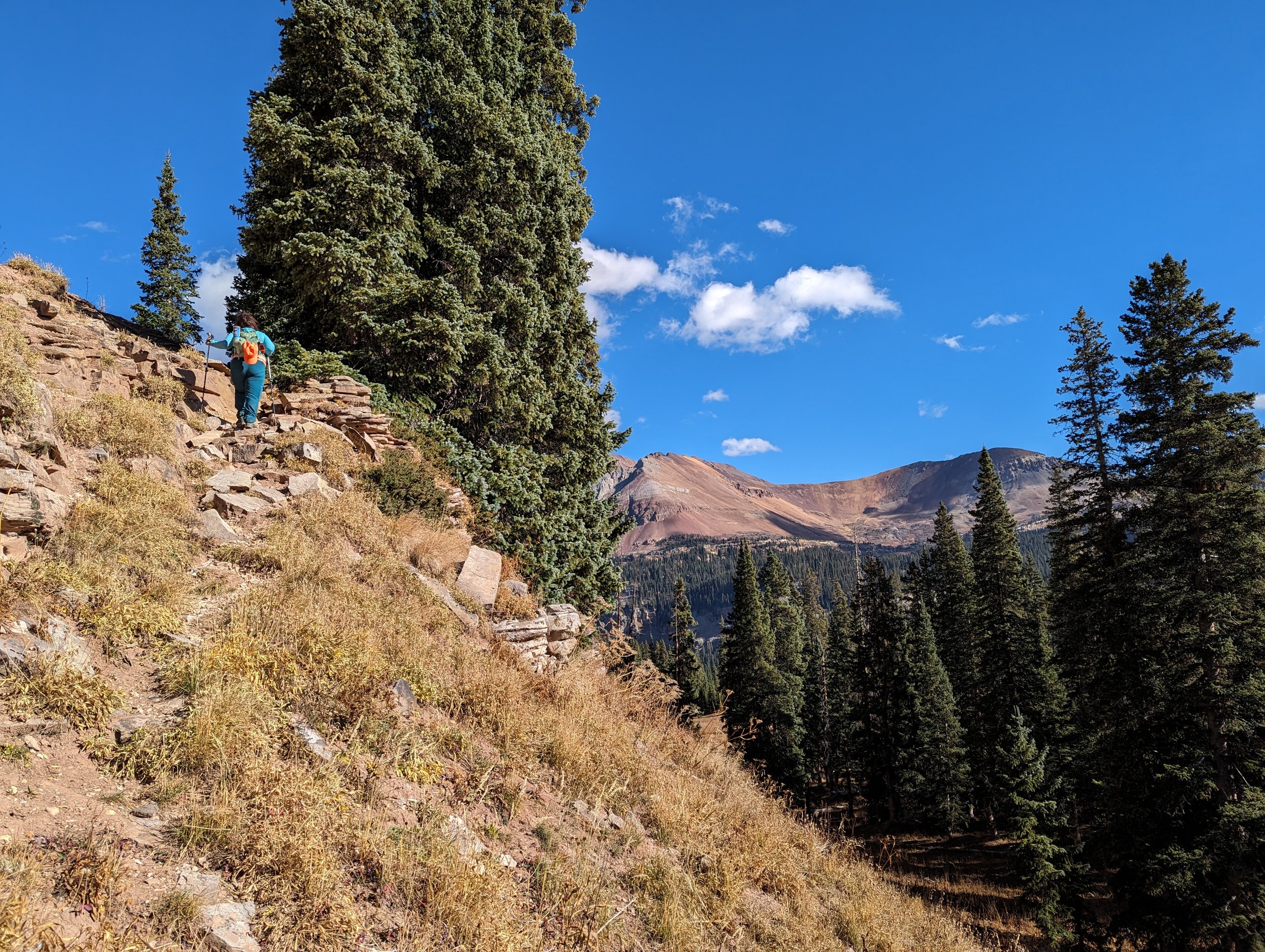
Regina on a lower segment of trail
The trail junction. GO LEFT.
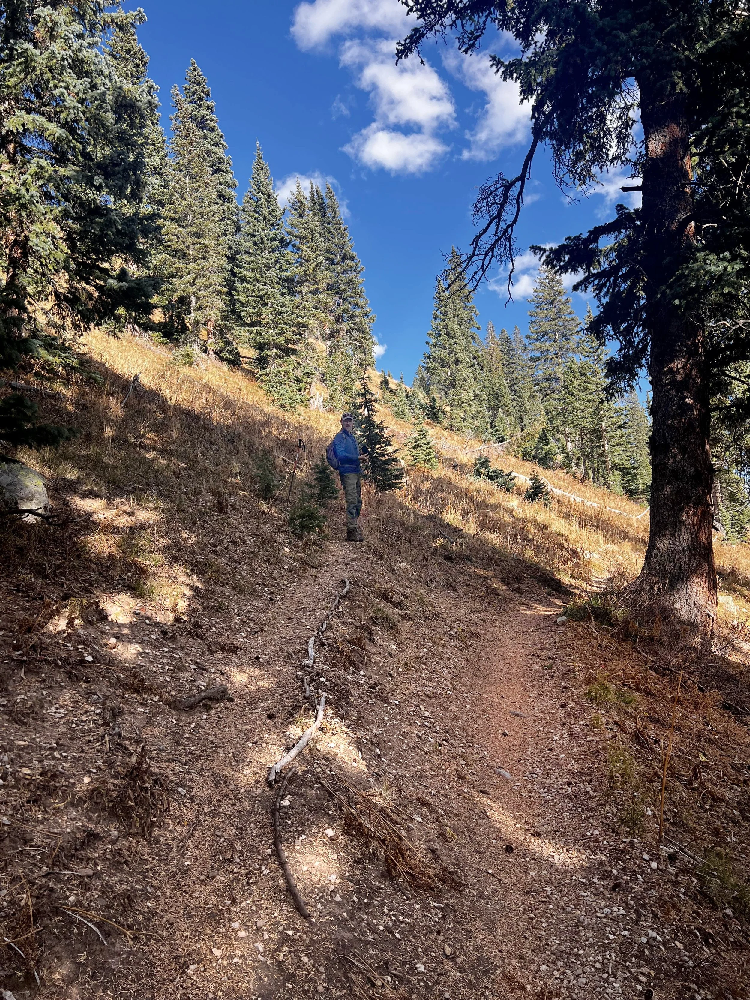
The Trailhead