Rinker Peak 13,789’
Northeast Ridge- Class 2
Trailhead- Willis Gulch
12.61 Miles | 4,370’ gain
Starting elevation- 9,290’ | Ending elevation- 13,789’
Kiefer Thomas (solo)
I’ve been interested in Twin Peaks for some time, even more so than its loftier neighbor, Rinker Peak. I suppose most people would question, why? Twin Peaks are a pair of unranked 13ers on an uneventful ridge that don’t convey much prominence. Any inspection of a topo map would indicate nothing more than a pair of non-descript bumps, evidence of say, a mosquito with something to prove. But a second look at the whole ridge would indicate a massively long and steep shoulder (ridge is really a bit of a stretch) that rises from the beaver ponds about 3,666’ in 2.77 miles to the summit of North Twin Peak, a bit of a leg-burner for sure.
It’s this ridge that I’ve been keenly interested in for quite some time. And for bonus points, Rinker Peak (a bicentennial) is easily within reach from this pair. Since I’m slowly chasing the bicentennials at the moment, this would be a trip where I could manage two itches with one scratch!
I arrived at the Willis Gulch Trailhead (9290’) located just west of Twin Lakes on hwy. 82 around 7:10 am. I downed the rest of the coffee, threw on my gloves and hat (it was 25 outside) and proceeded across the rocky trailhead at a good clip, trying to work out the kinks in my legs that a 3+ hour drive can endow.
Due to my curiosity and stupidity, I almost ended the whole trip within the first 5 minutes. At one point very near the trailhead, the trail parallels some beaver ponds. I stopped at a small, partially frozen stream/inlet, straddled it and proceeded to [intelligently] lean out over the frozen water and poke the ice with the tip of my hiking pole to gauge how thick it was. Caveat here, it was actually Regina’s hiking pole of which, she was very reluctant to allow me to use since I have a steady and reliable history of snapping & breaking poles. Anyway, the pole plunged right through the ice throwing my center of gravity forward. I weebled for 3-4 seconds (it felt like eternity) and was 120% sure I was going to do a belly flop into the frozen water. I kicked my legs out, lowering myself a bit and slowly pushed back on the pole, it worked. I laughed at myself wishing someone would have filmed that. It was awesome! I still don’t know how I didn’t bend/snap that pole.
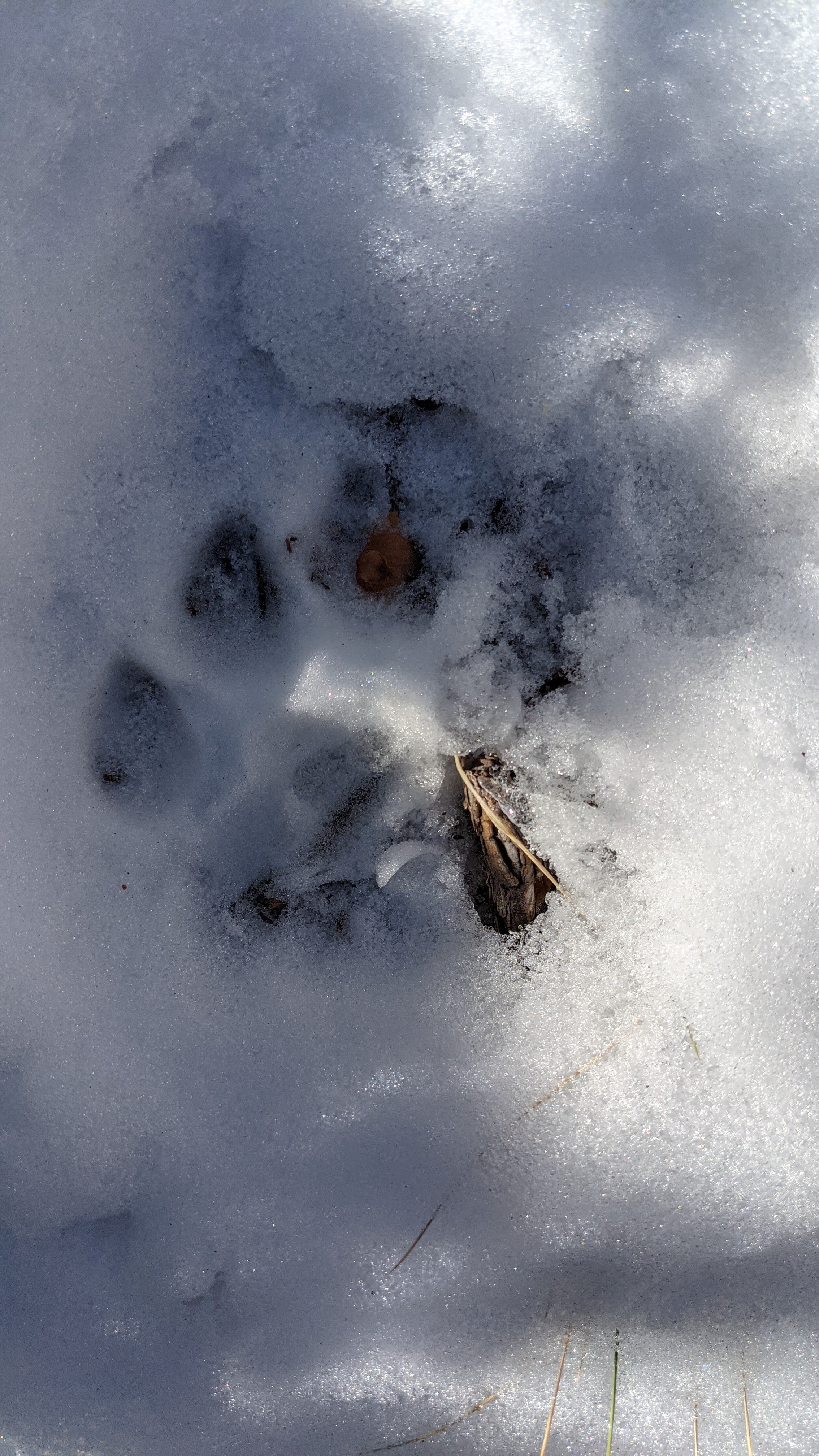
Cat Track!!!
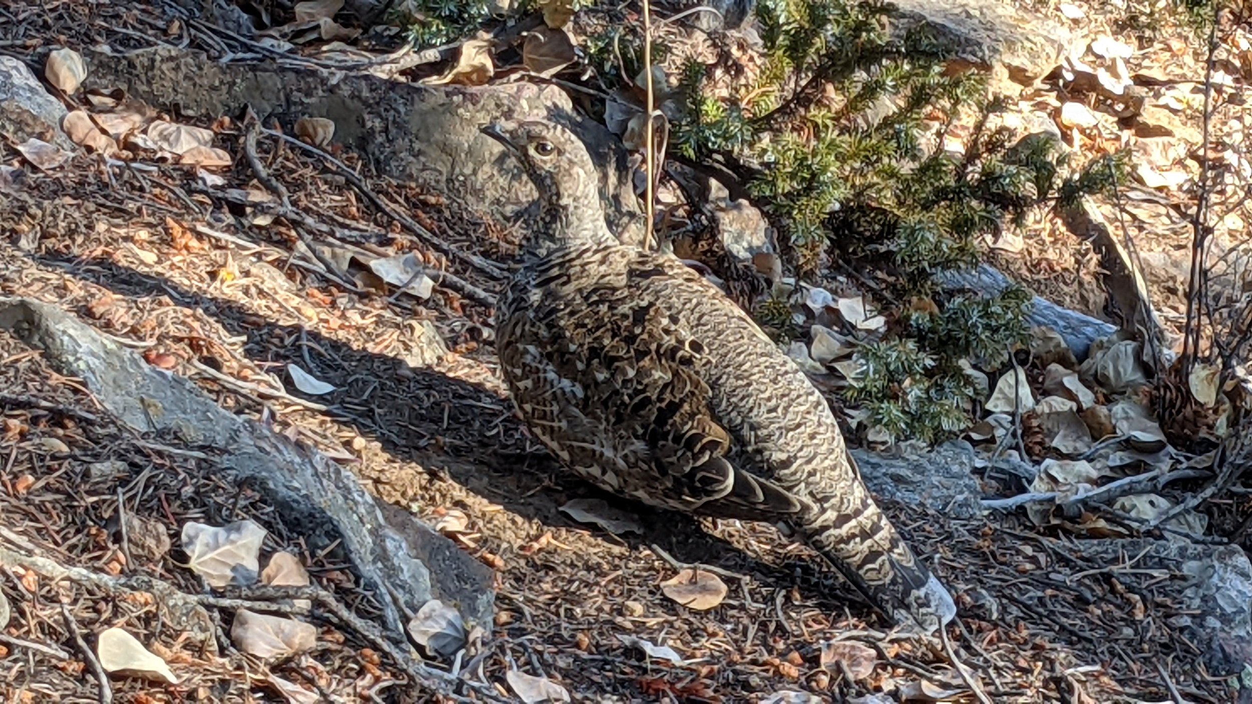
Mountain Grouse
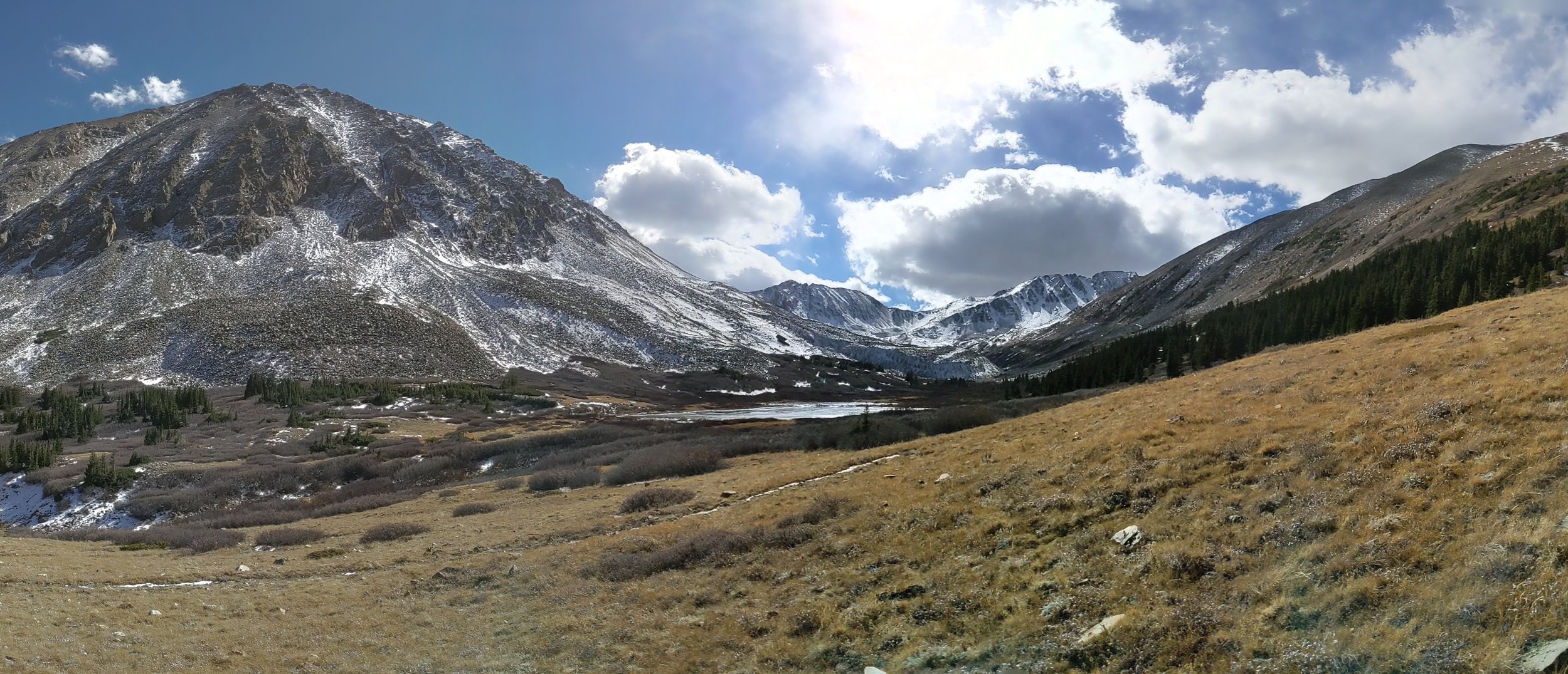
The Lower Ridge
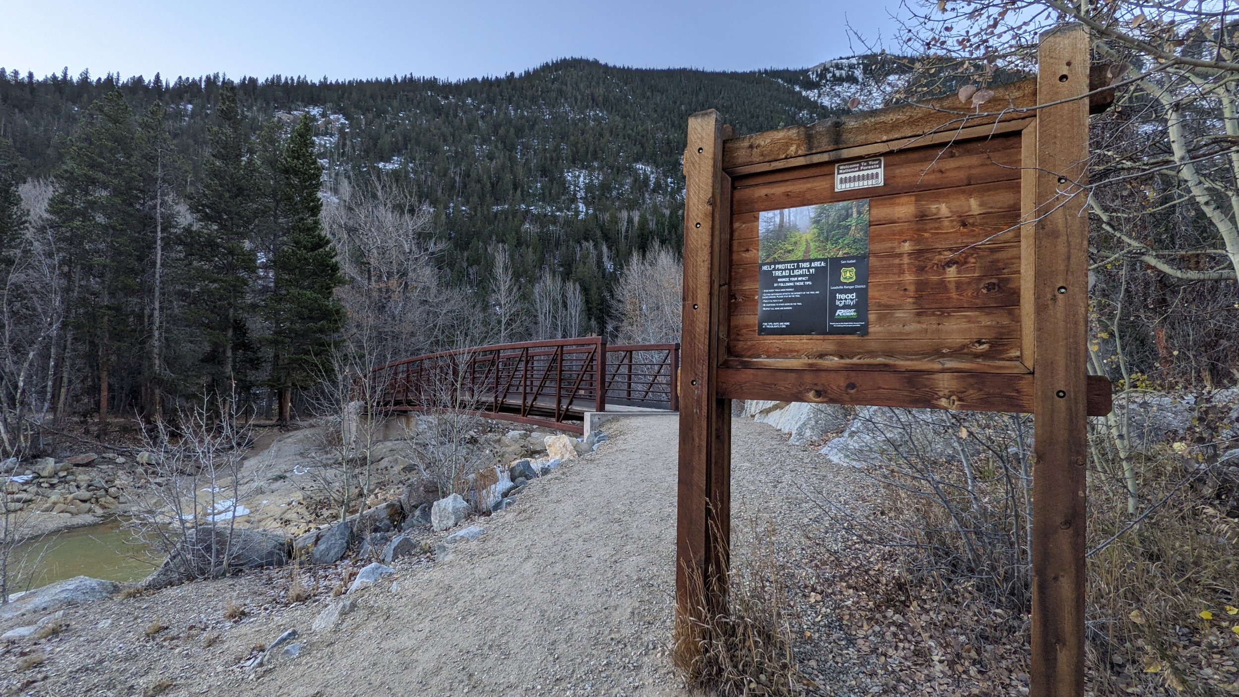
The Trailhead at Willis Gulch

A cabin I found while ascending through the lower forest
I came up to a fork in the trail where the left path led to Interlocken. I veered right onto trail #1471 and walked for maybe no more than 10 minutes. I cross checked Strava (app) with my map to ensure I was where I needed to be before I left the trail. I then headed due south up the slope bushwhacking through open forest hoping the underbrush wouldn’t be too bad for the ascent.
In terms of bushwhacking, it actually wasn’t bad at all! Fact, I really have nothing negative to say about it other than it was consistently steep (as advertised and expected). But with side-stepping and grabbing the occasional tree trunk, it was quite manageable indeed.
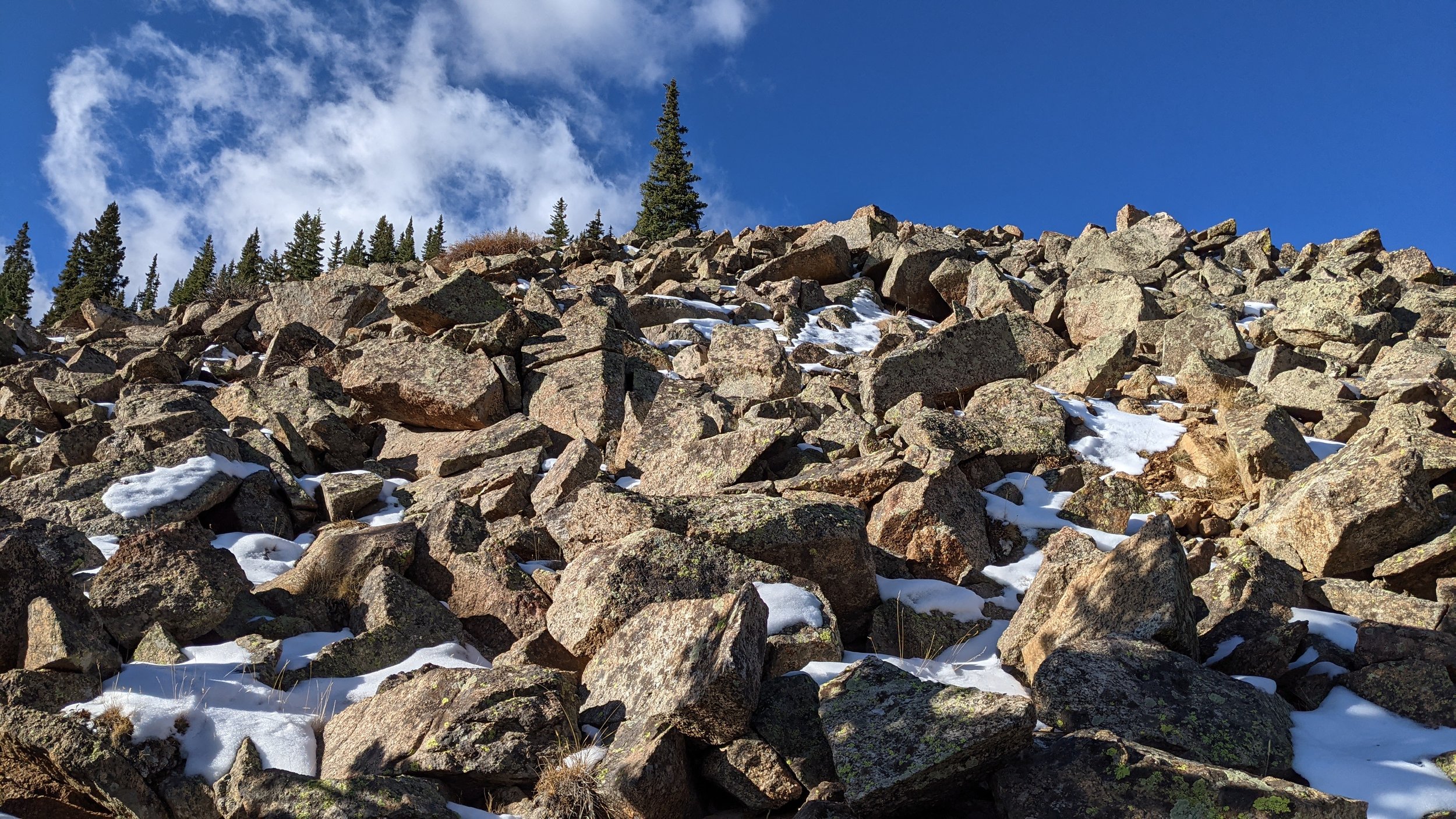
Roughly half-way up this ridge, the trees started to thin and get pushed out by intermittent splotches of talus and rock. It gave the impression of treeline but at 11,100’, I knew I wasn’t there yet. However, it did offer incredible views and inject some much needed motivation. Just below treeline, I came across an old mine and the accompanying slag pile. The rock was jagged, crumbly and fractured. It was quite different than what I had experienced thus far. I did some short tree-bashing & easy scrambling above the mine which, dumped me out into treeline proper this time. I could see the false summit up ahead.
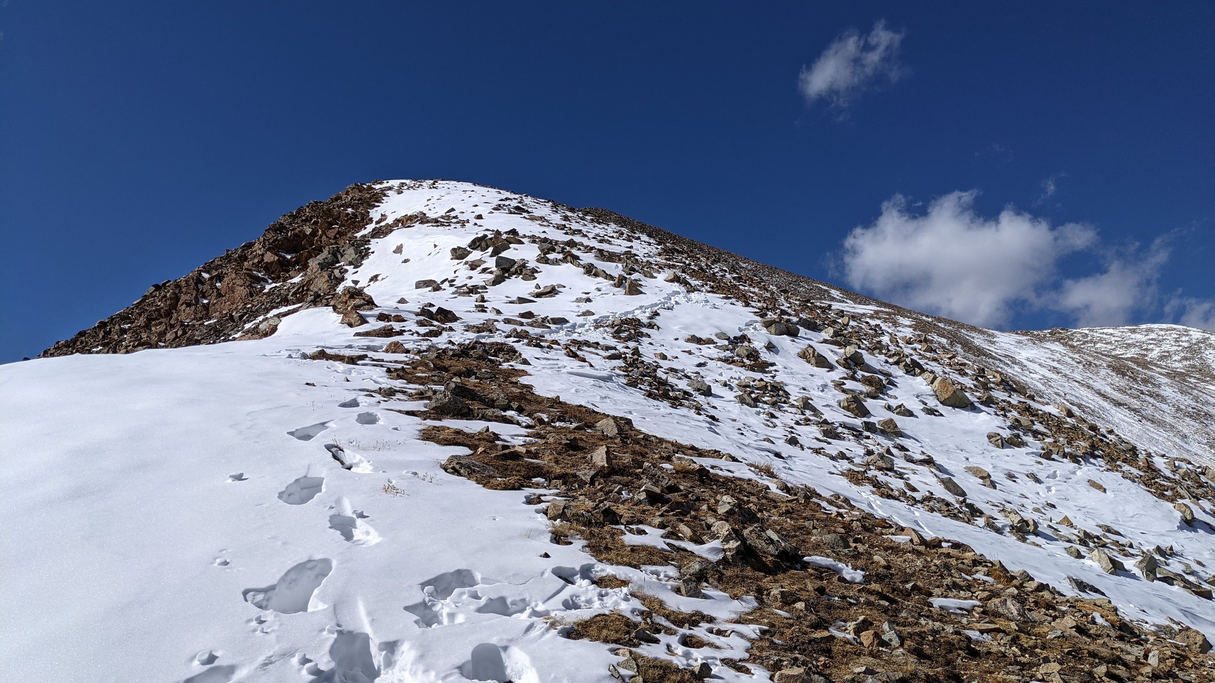
The ascent to the false summit actually took longer than I expected. The drifting snow had piled into the nooks and crannies making for awkward hiking. The snow wasn’t deep, and most of it honestly, could be avoided giving ones penchant for rock hopping. I arrived on the false summit and sat down on a broken cairn for a few minutes looking at the traverse to North Twin.
I had to drop down on a surprisingly janky ridge for maybe 150’. It looked impossibly far but only took me about 15 minutes. But that’s how it usually is, isn’t it? An objective you’re going for looks hours away than all of a sudden, 30 minutes later, you’re plopped down on the summit cracking a beer.
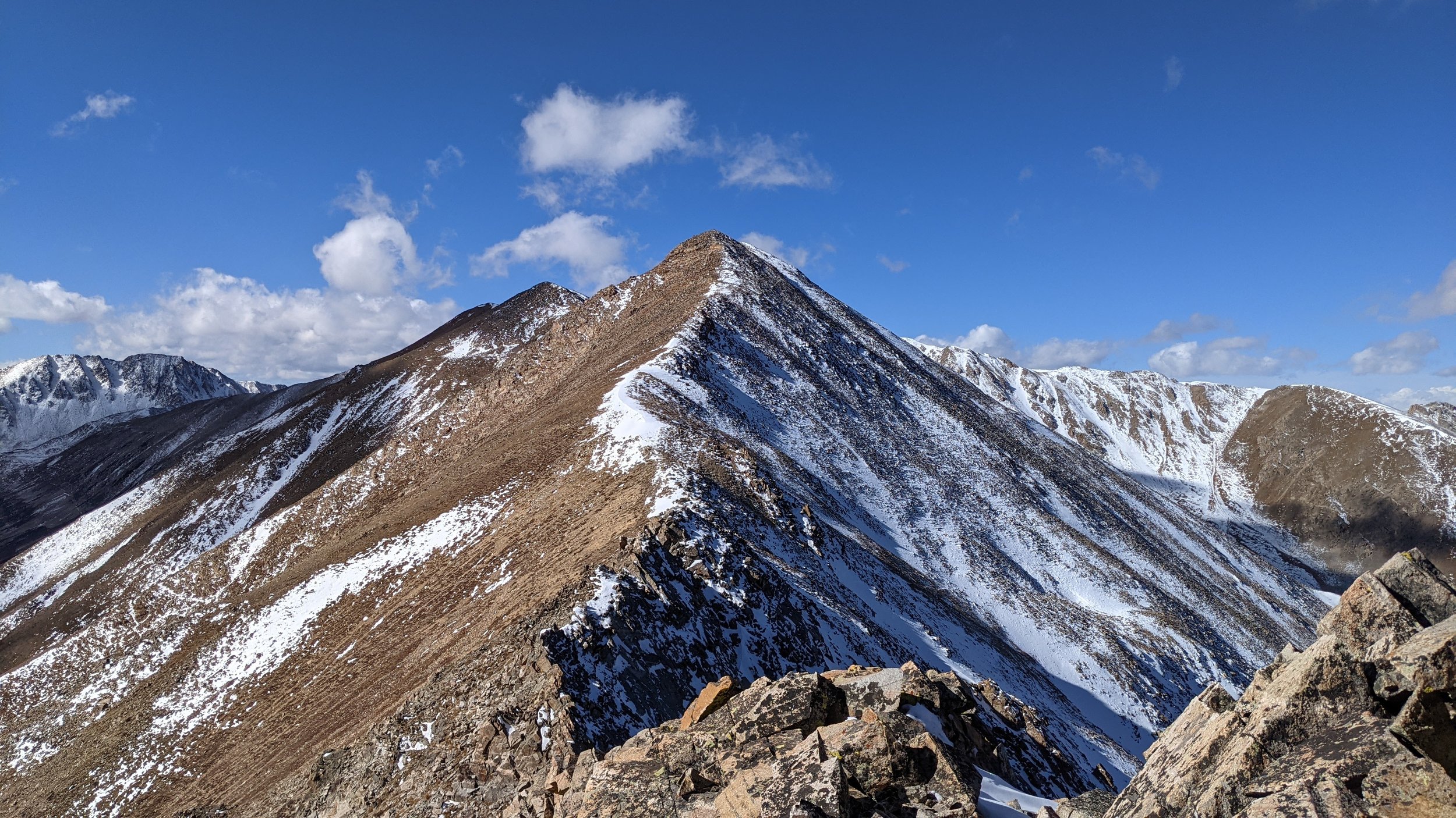
North Twin Peak
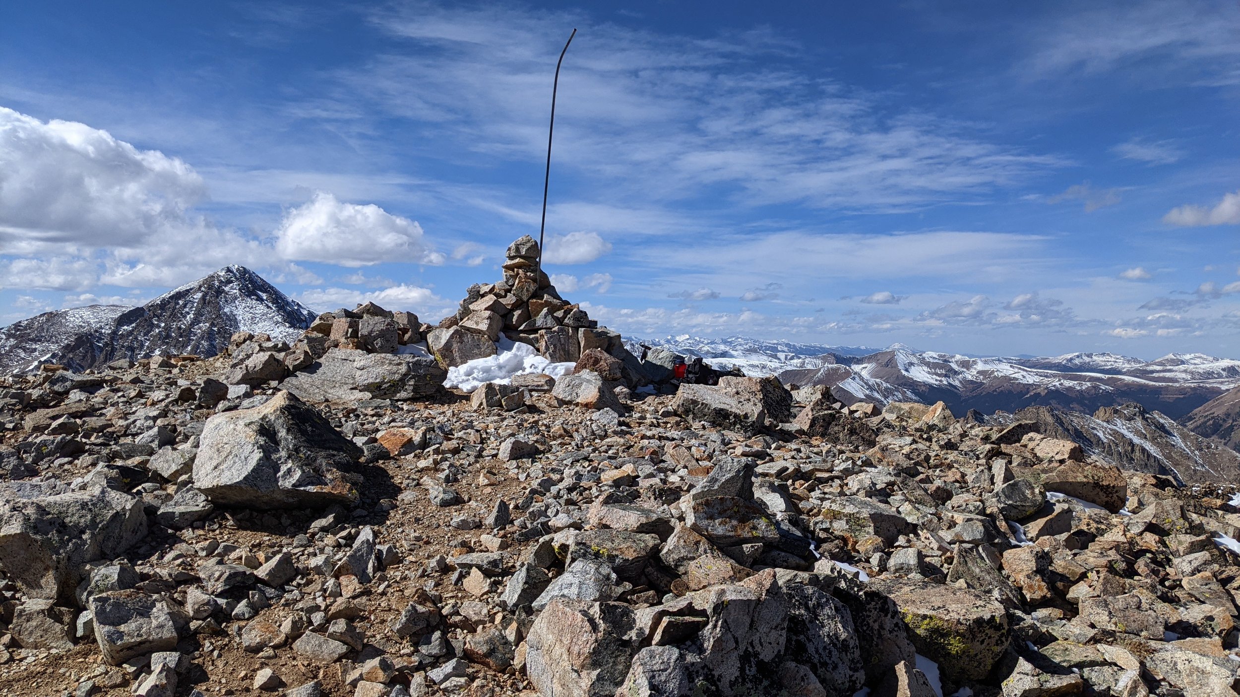
I continued across the almost horizontal traverse to South Twin (it only drops 90’) and descended the mellow ridge to the saddle with Rinker. I honestly didn’t know how people ascended Rinker. I thought there might be something down in Willis Gulch but from up on the ridge, I couldn’t see anything. So as I scooted along, I was paying attention to the eastern slope looking for a good descent route. I built a cairn to mark the spot I wanted to use to start my descent and continued up towards Rinker which was about 690’ higher than the saddle.
The upper North Ridge on Rinker was holding more snow (no surprise) but again, nothing really to write home about. I arrived at the summit at 12:45PM. I took the obligatory summit pictures, ate and cracked my summit beer. It was cold and windy, but after I had built up the summit cairn (somewhat considerably), I had a nice wind-break to enjoy the next 20 minutes.
There is a social trail that ascends from Willis Gulch up the grassy slope. I ended up finding it about half-way down. The descent down the gulch took a hot minute. At some point last spring, a massive avalanche came roaring down and took out a large portion of the trail. There’s a bypass now from hikers, but keep yer wits about ya. It’s easy to get lost into frustrating terrain if you’re not looking.
I didn’t have many expectations for Rinker, but all in all, I rather enjoyed it. And that North Ridge from the trailhead to Twin Peaks, that thing REALLY kicked my butt. But I’m glad that one is in the books!
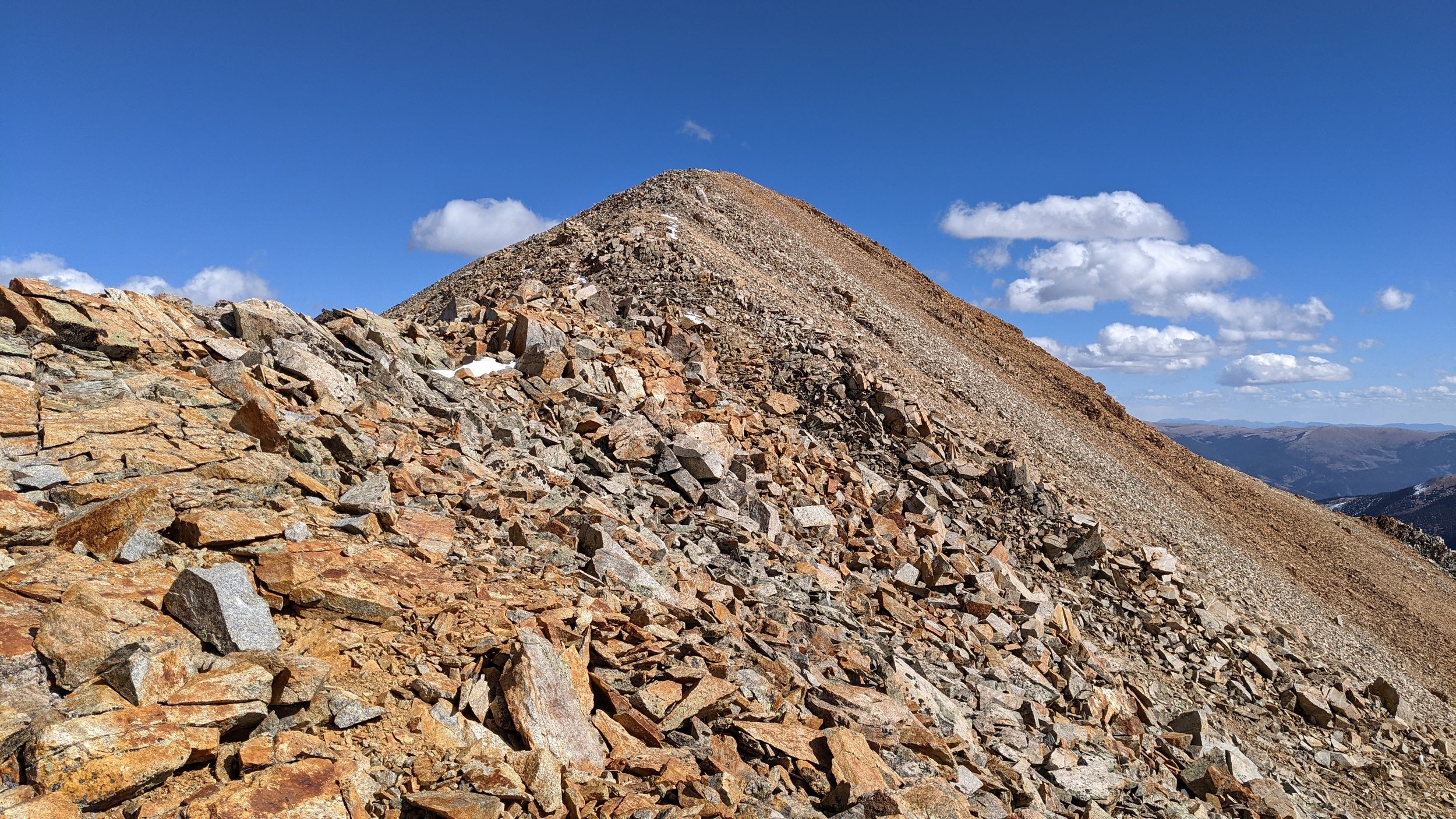
Almost to the summit!
On the summit
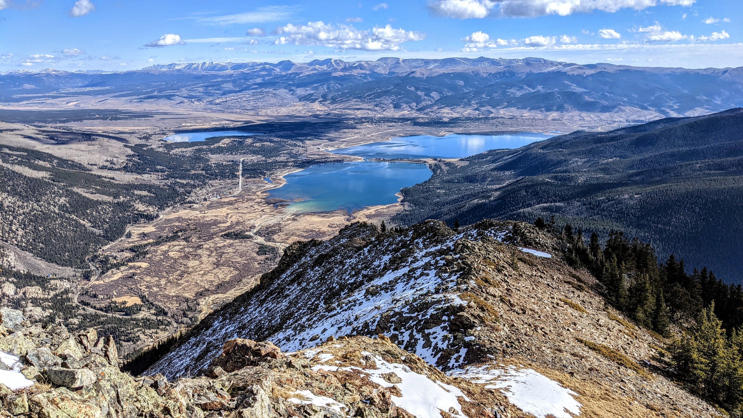
Looking north down on Twin Lakes Reservoir and the Upper Arkansas Valley
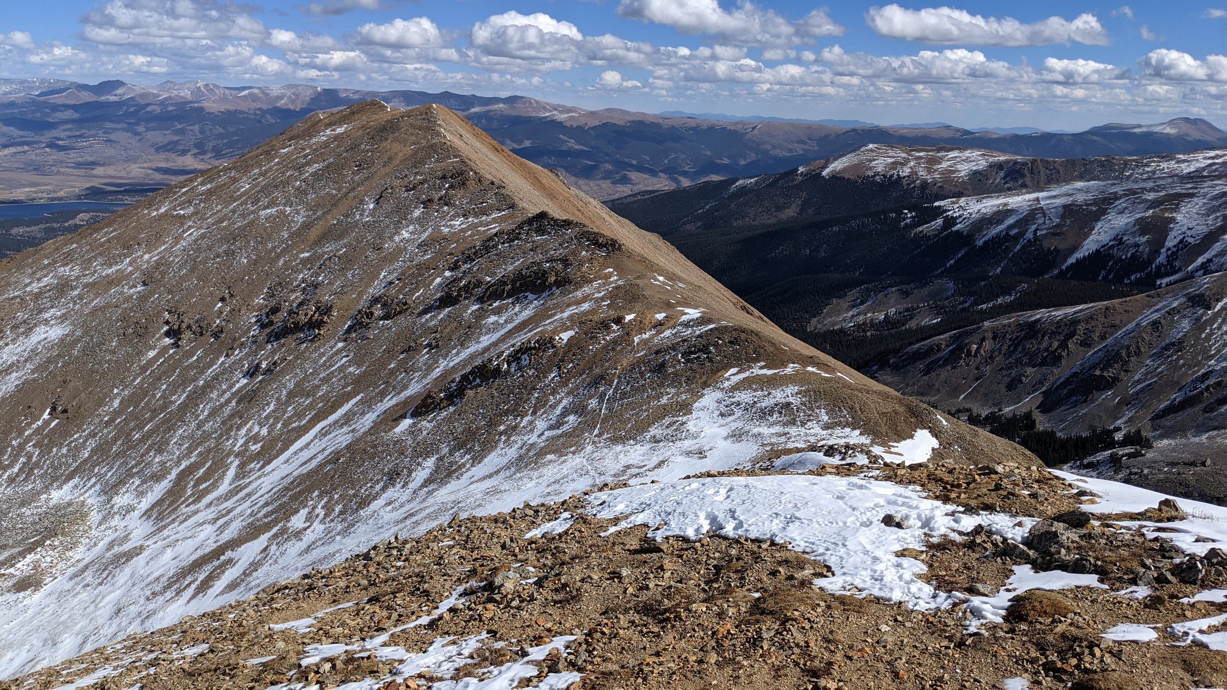
North Twin Peak- 13,270'
Looking back to North Twin Peak
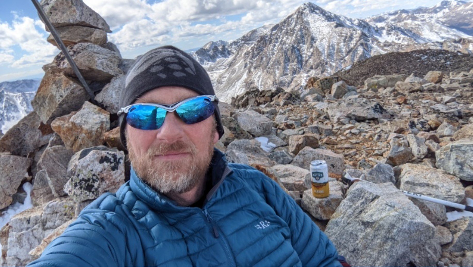
Summit Selfie!!

Mount Hope- 13,939’
