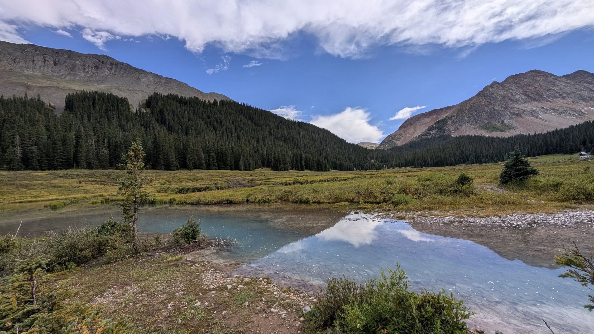
“V9” 13,244’
Bandora Mine TH | 5.66 miles | 2,546’ gain
This was Regina’s birthday weekend. We were supposed to spend it camping, hiking and enjoying the outdoors. However, with August and September being the monsoons favorite time of the year, we had to battle rain and constant storms. What should have been a great 4-day weekend, turned into two nights of camping and only one peak to show for it. We eeked out “V9” early Saturday morning before the weather rolled in.
Not difficult by any stretch, the views from the summit were absolutely incredible. This was a simple class-2 hike punctuated with a short class 2+ cliff section to get through. I don’t know if it’s a summit I would care to repeat, but if it was in conjugation with a ridge-run, then probably yes.
And lots of mining activity in the area. I wouldn’t drink or trust the water ANYWHERE up Mineral Creek.
This is going to be more of a photo assay than a full-blown trip report.
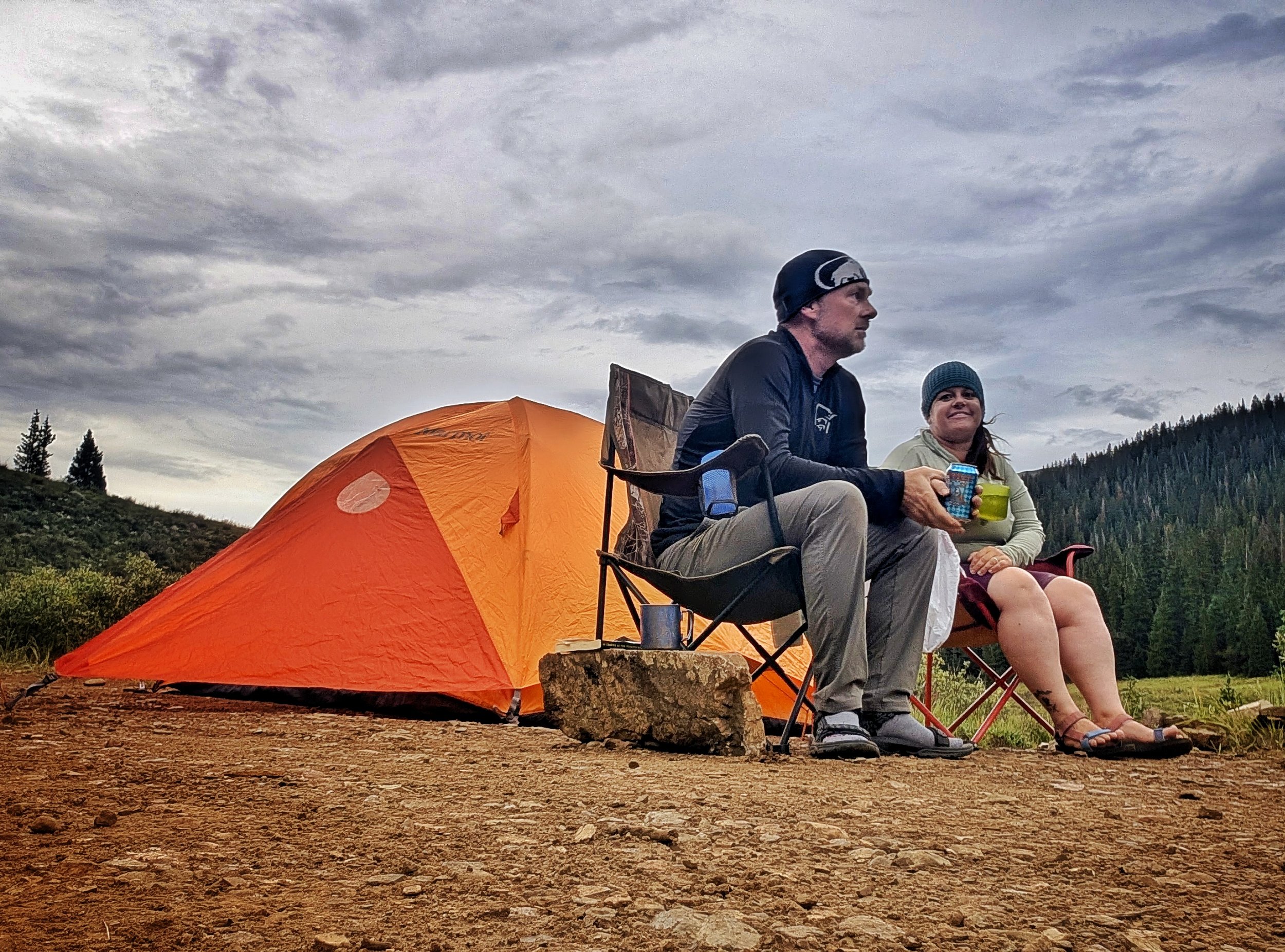
Relaxing at camp the afternoon we got a site. Not too many people drove up this high. So we had this turn out all to ourselves.
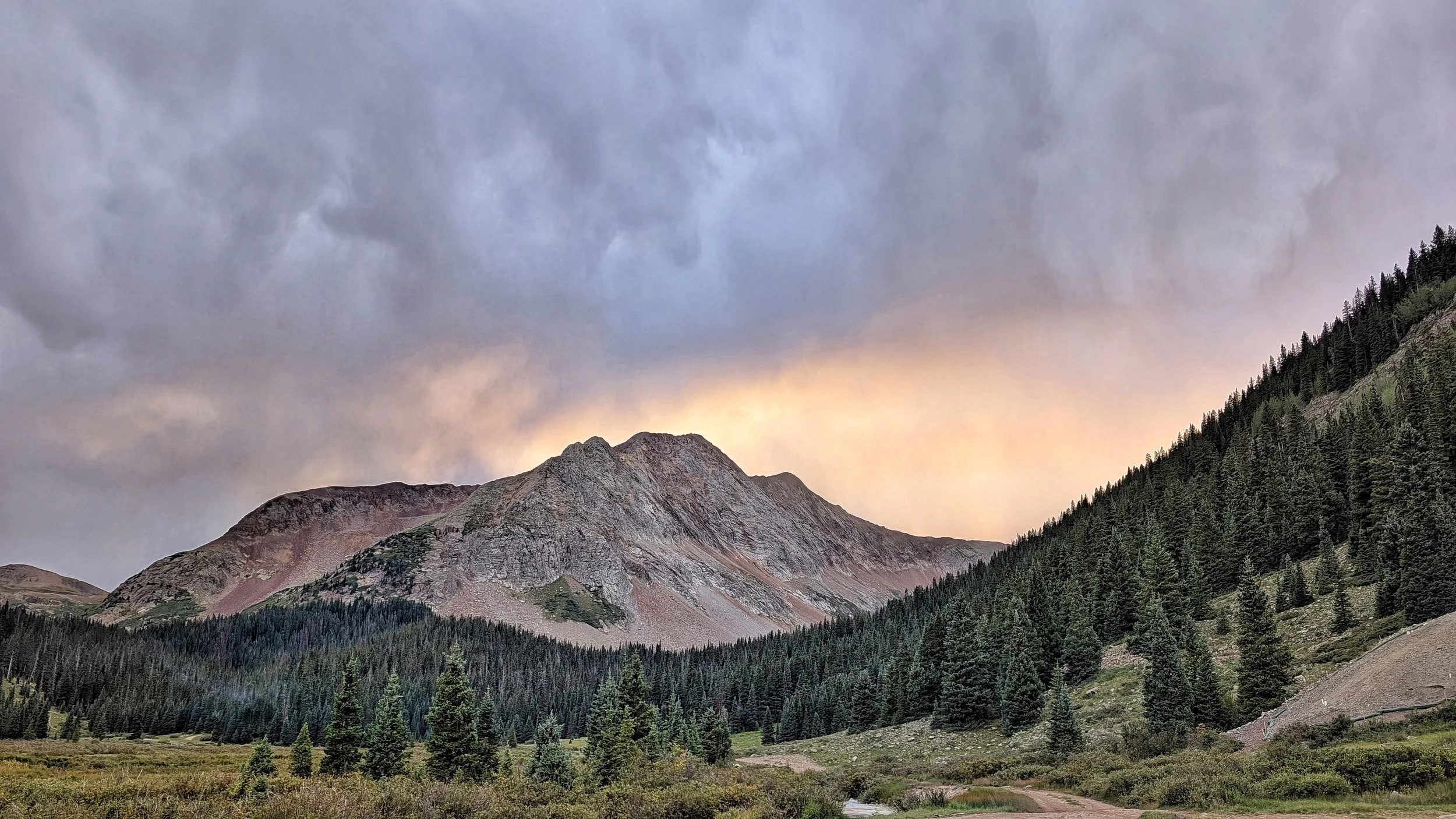
Evening descending on Rolling Mountain
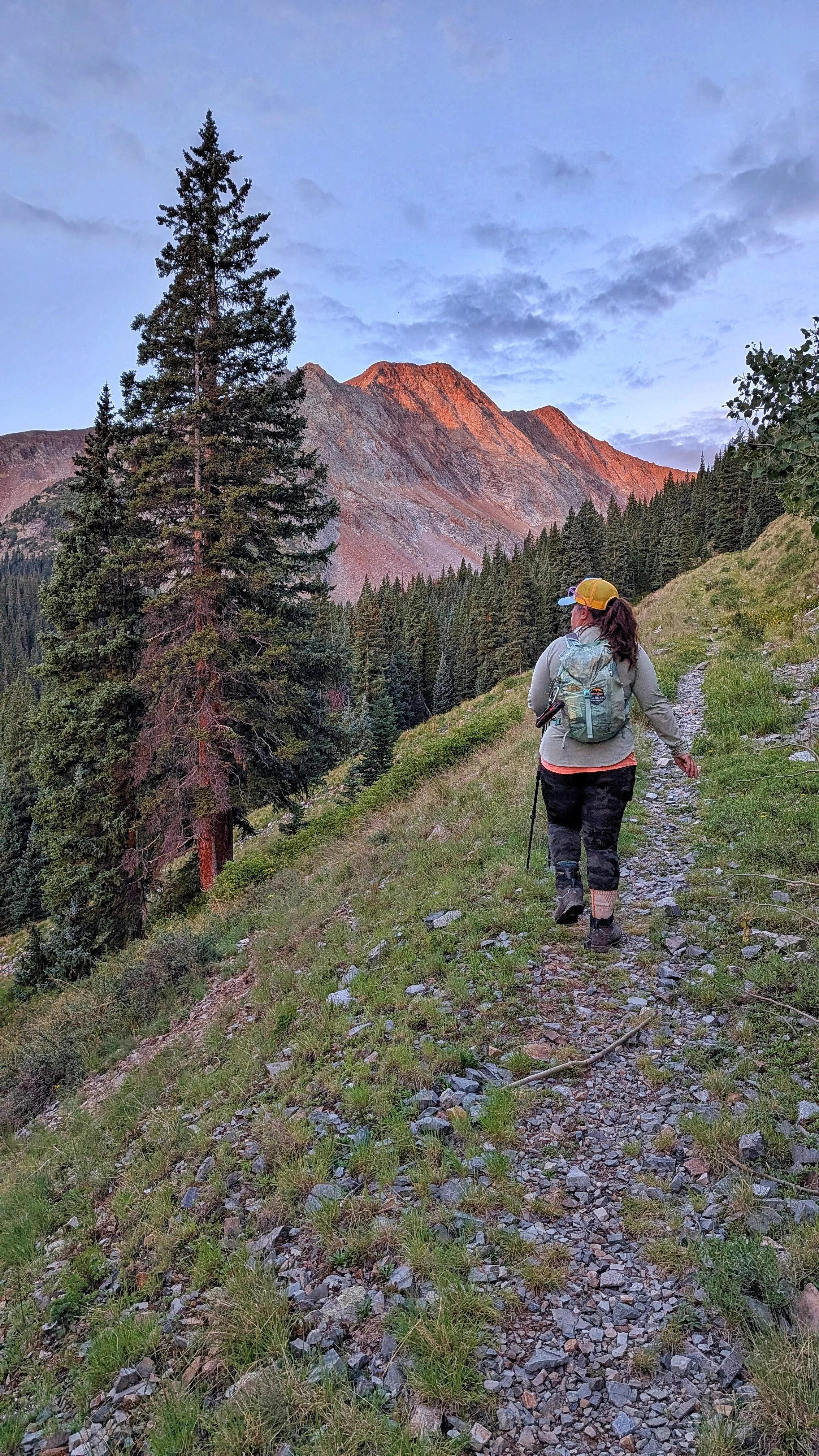
Starting off early in the morning. Alpenglow on Rolling Mountain.
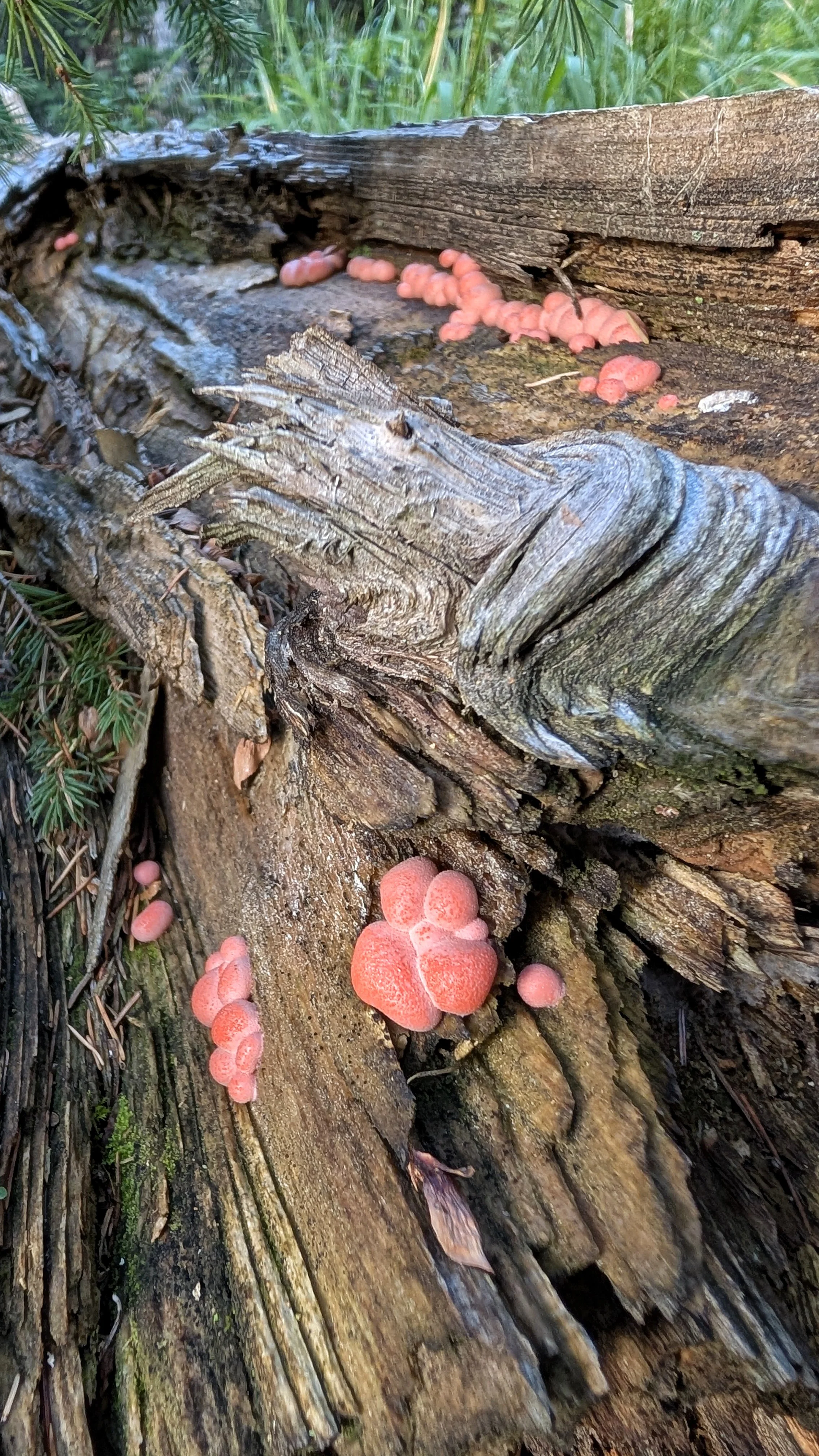
Wolf's Milk. This is a slime mold (NOT a fungus/mushroom). It's not toxic, that people know of, but it's also not edible. Lycogala epidendrum
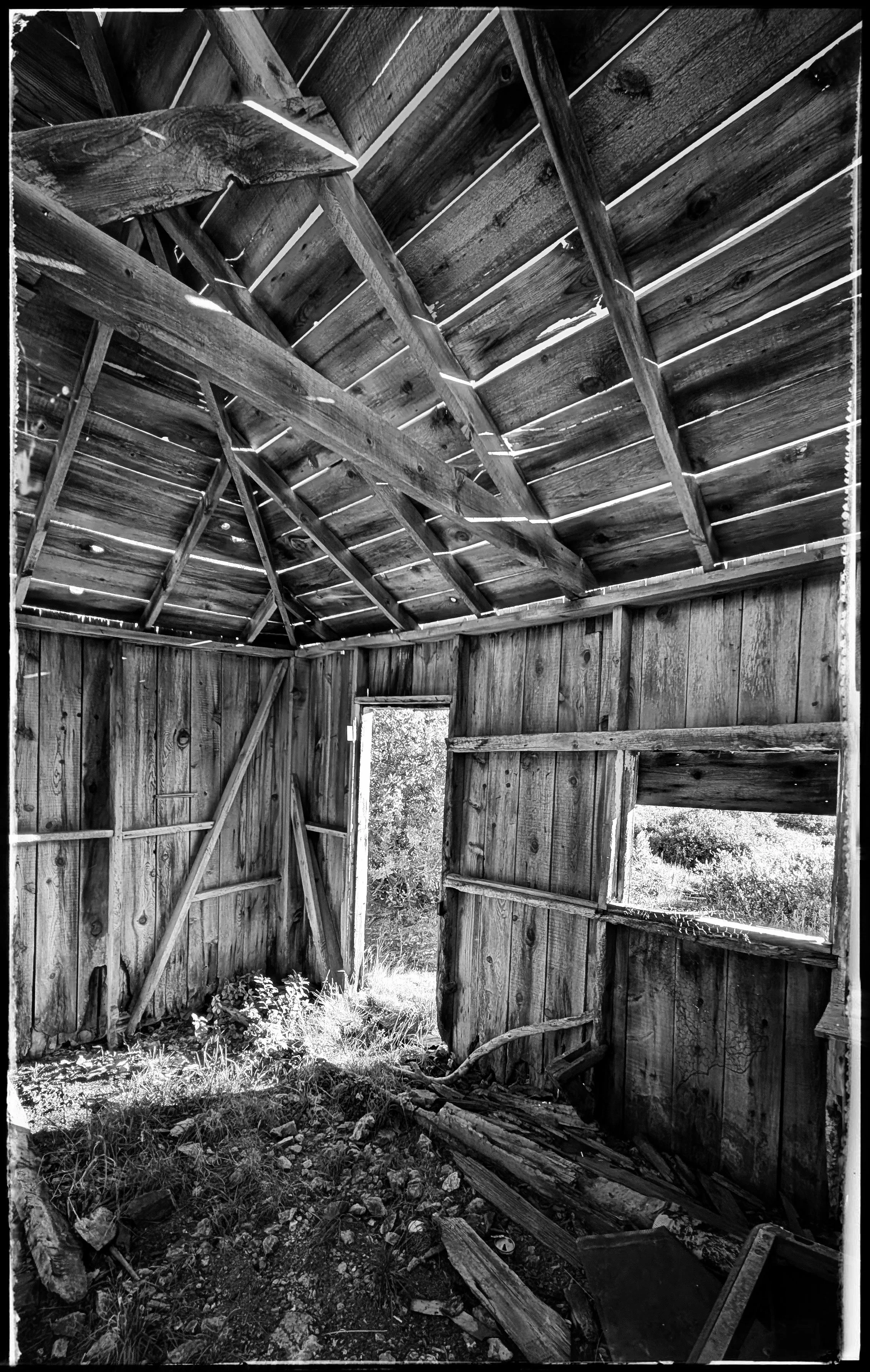
The inside of a mining shelter up valley from the Bandora Mine
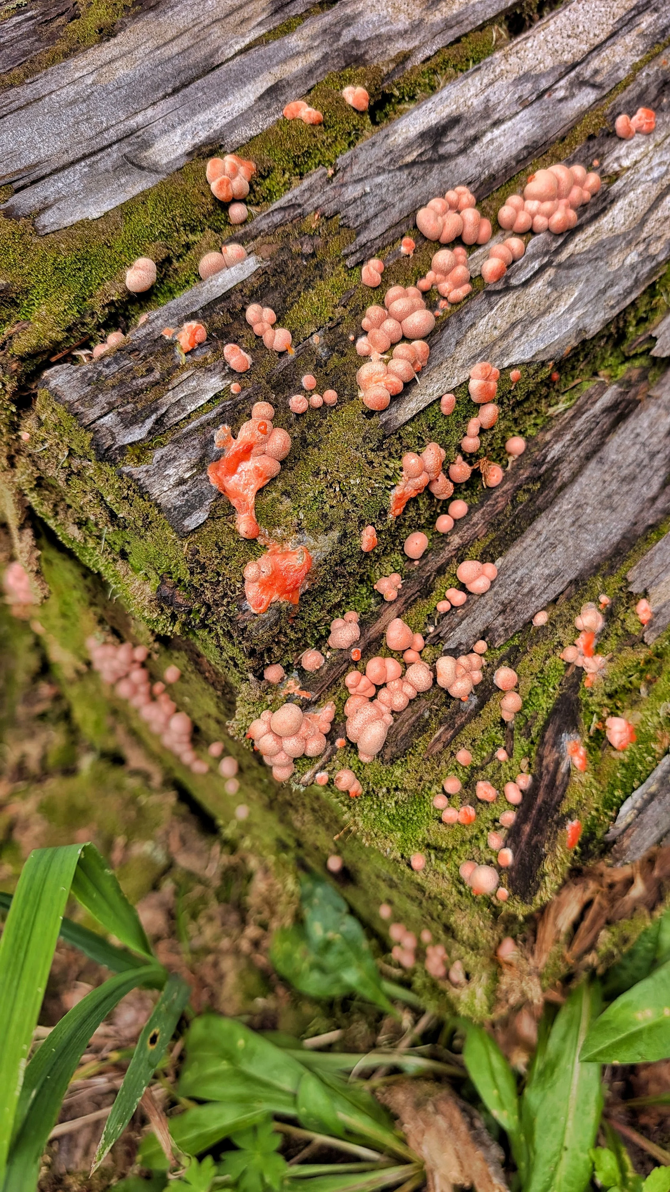
Wolf's Milk. This is a slime mold (NOT a fungus/mushroom). It's not toxic, that people know of, but it's also not edible. Lycogala epidendrum
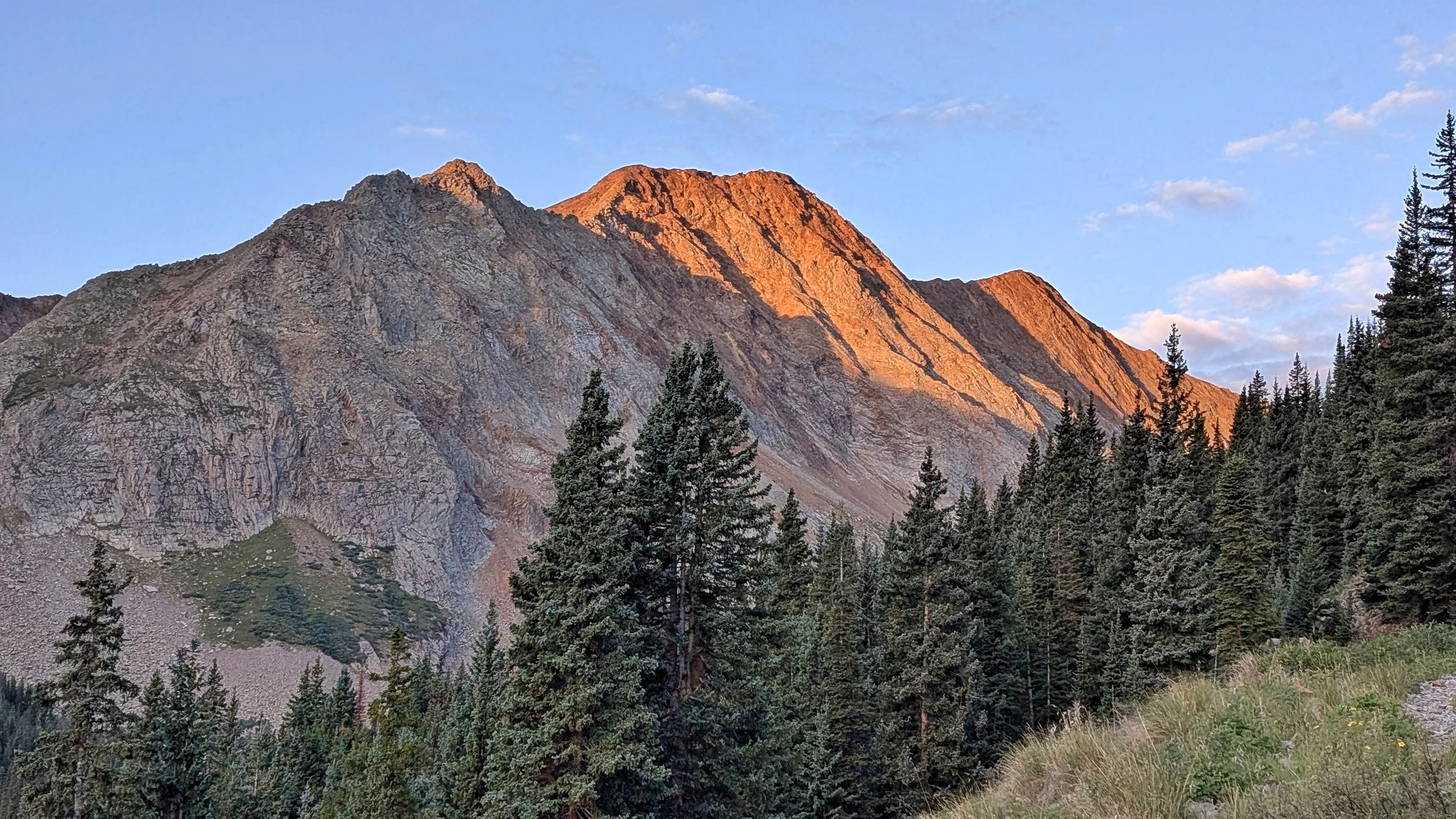
Alpenglow on Rolling Mountain
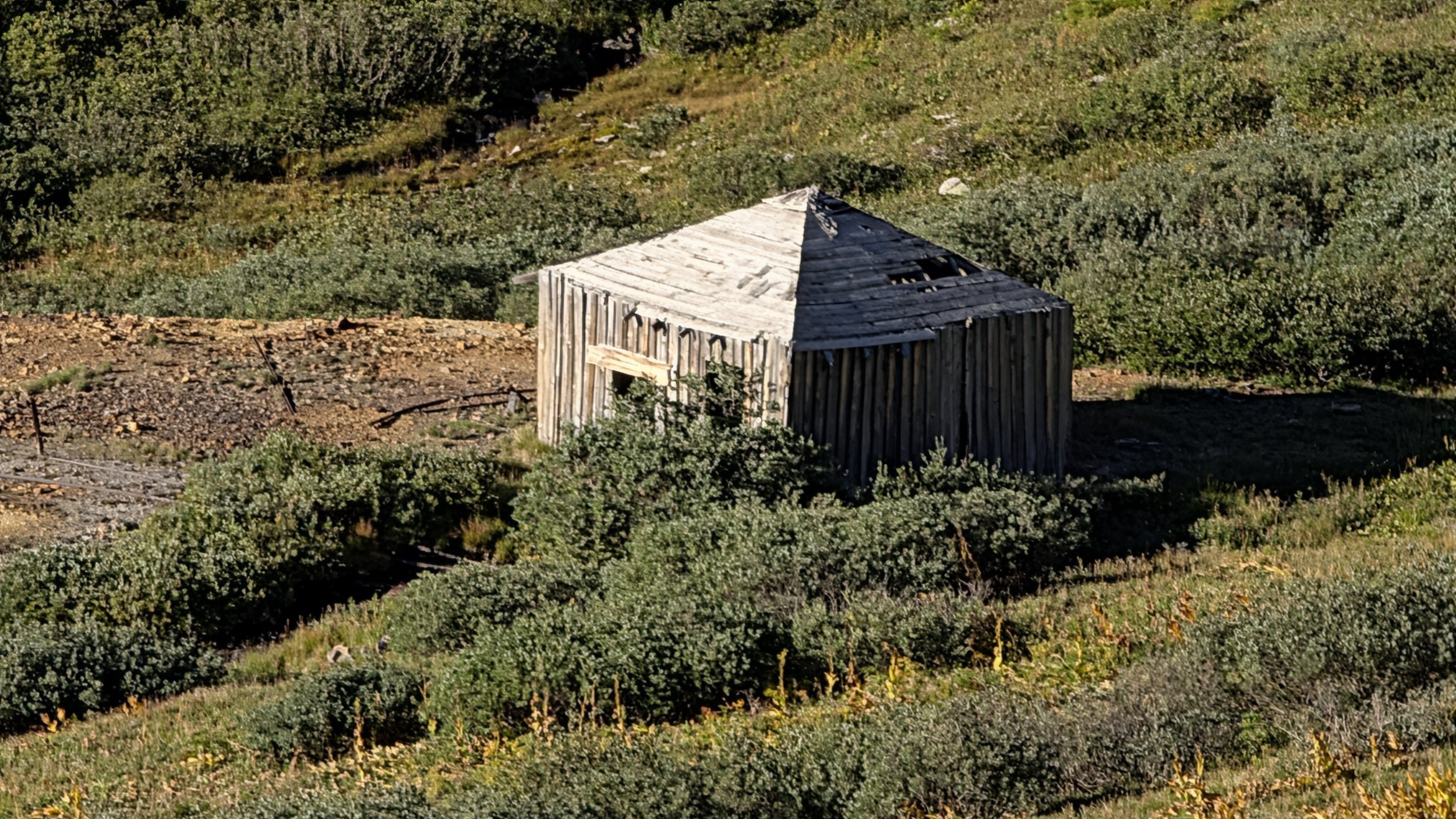
A mining shack located near an unnamed 'gold occurrence.'
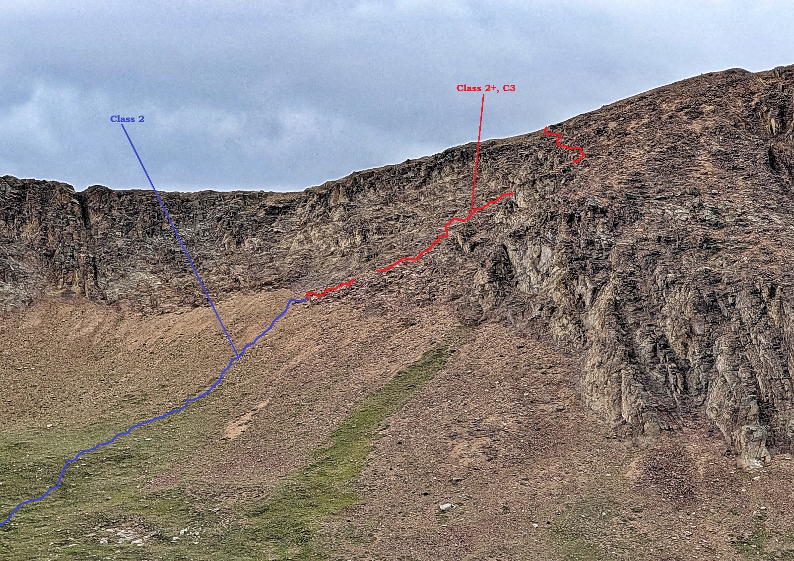
A labeled view of our route through the cliffs. Thanks to the description from the Cooney's for this.
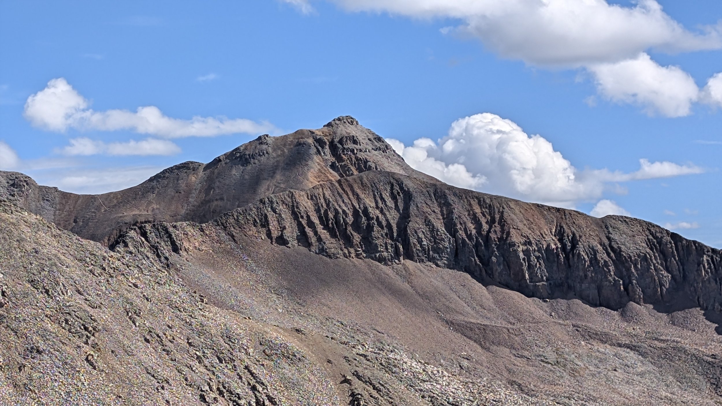
Fuller Peak (13,777') and Beattie Peak (13,351') to the north.
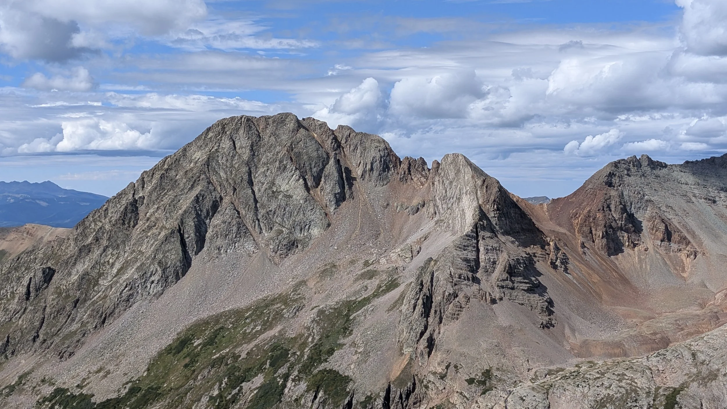
Grizzly Peak (13,753')
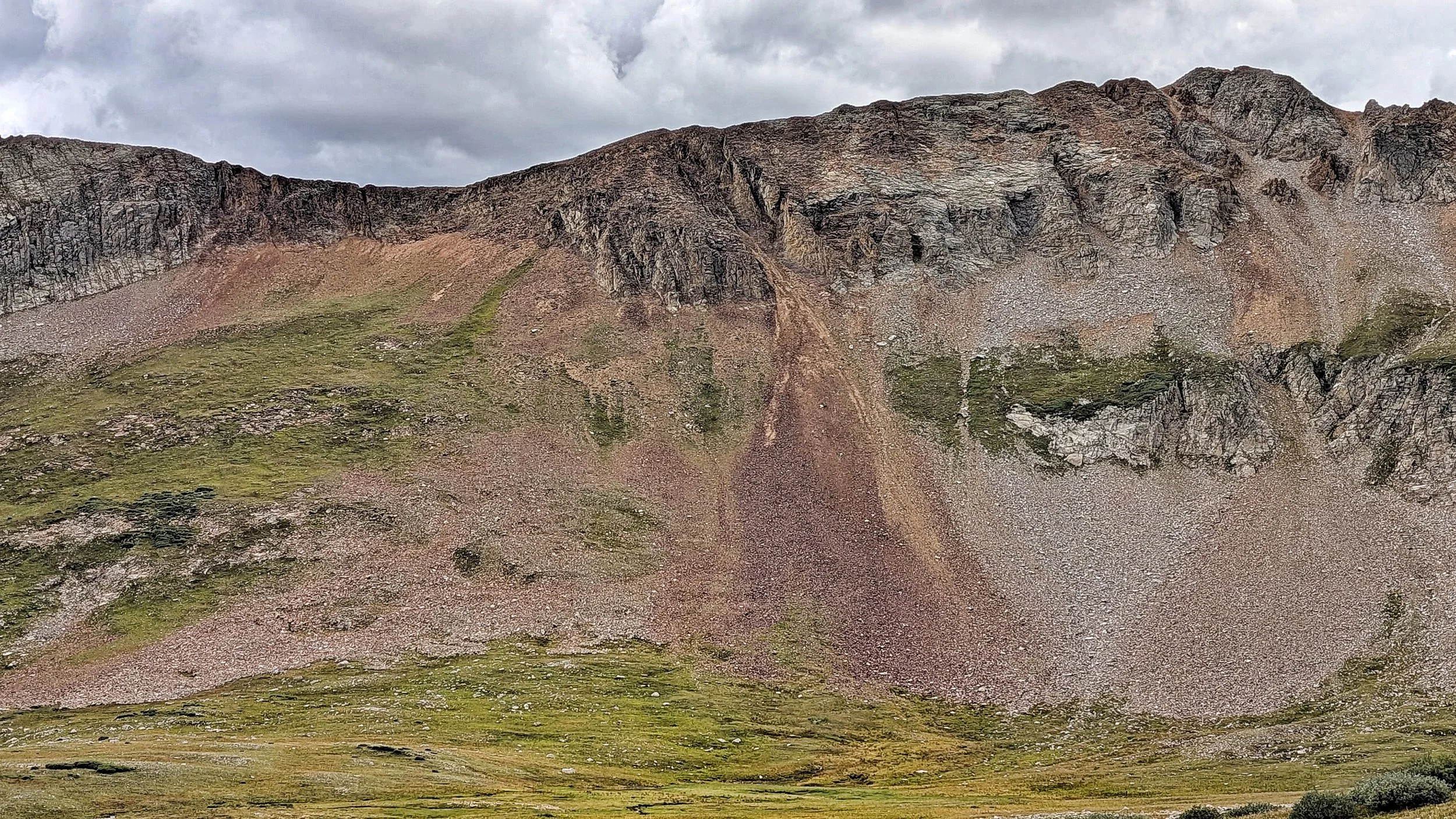
The slope and cliffs to gain the upper ridge on "V9"
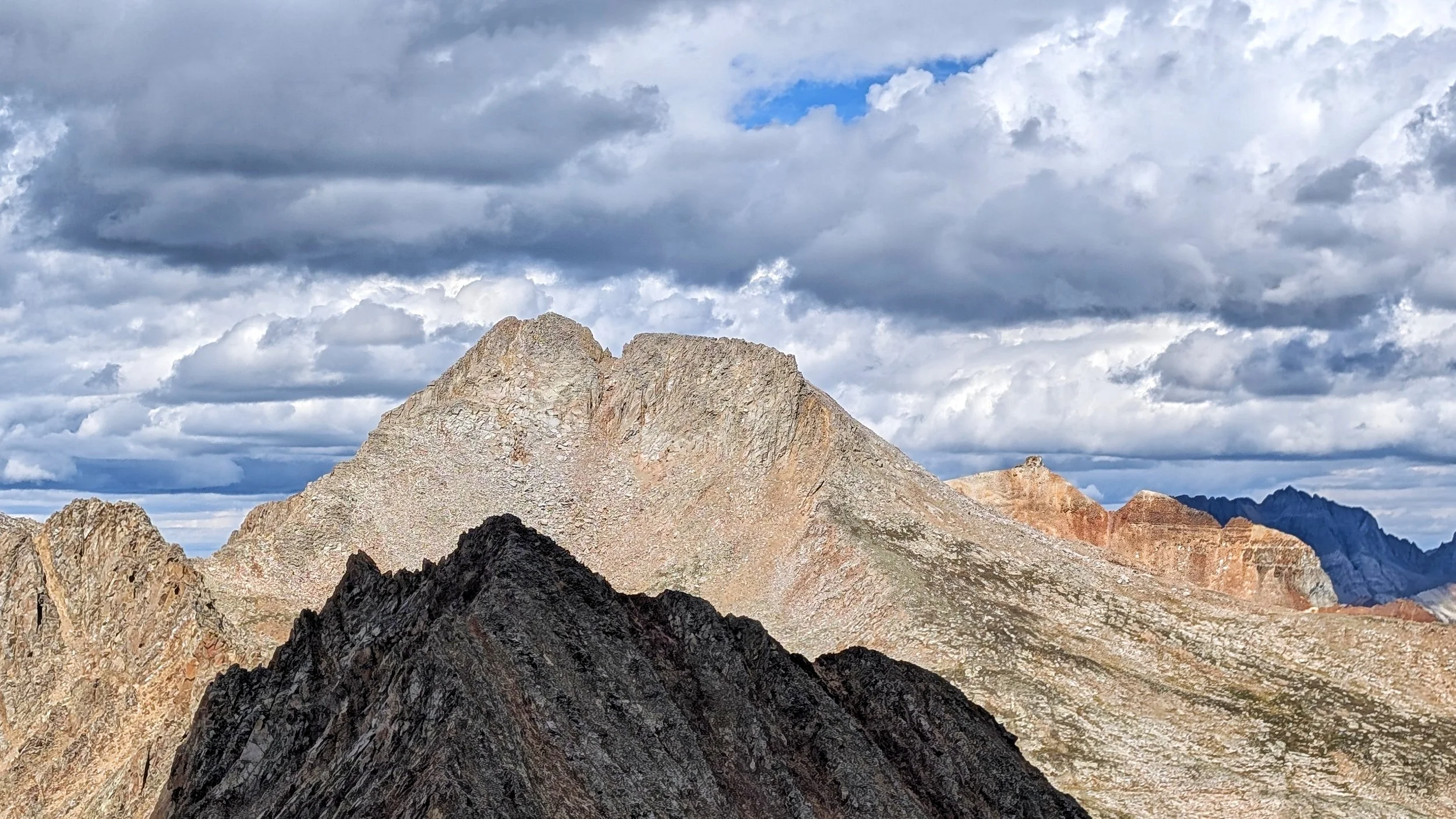
San Miguel Peak (13,756')
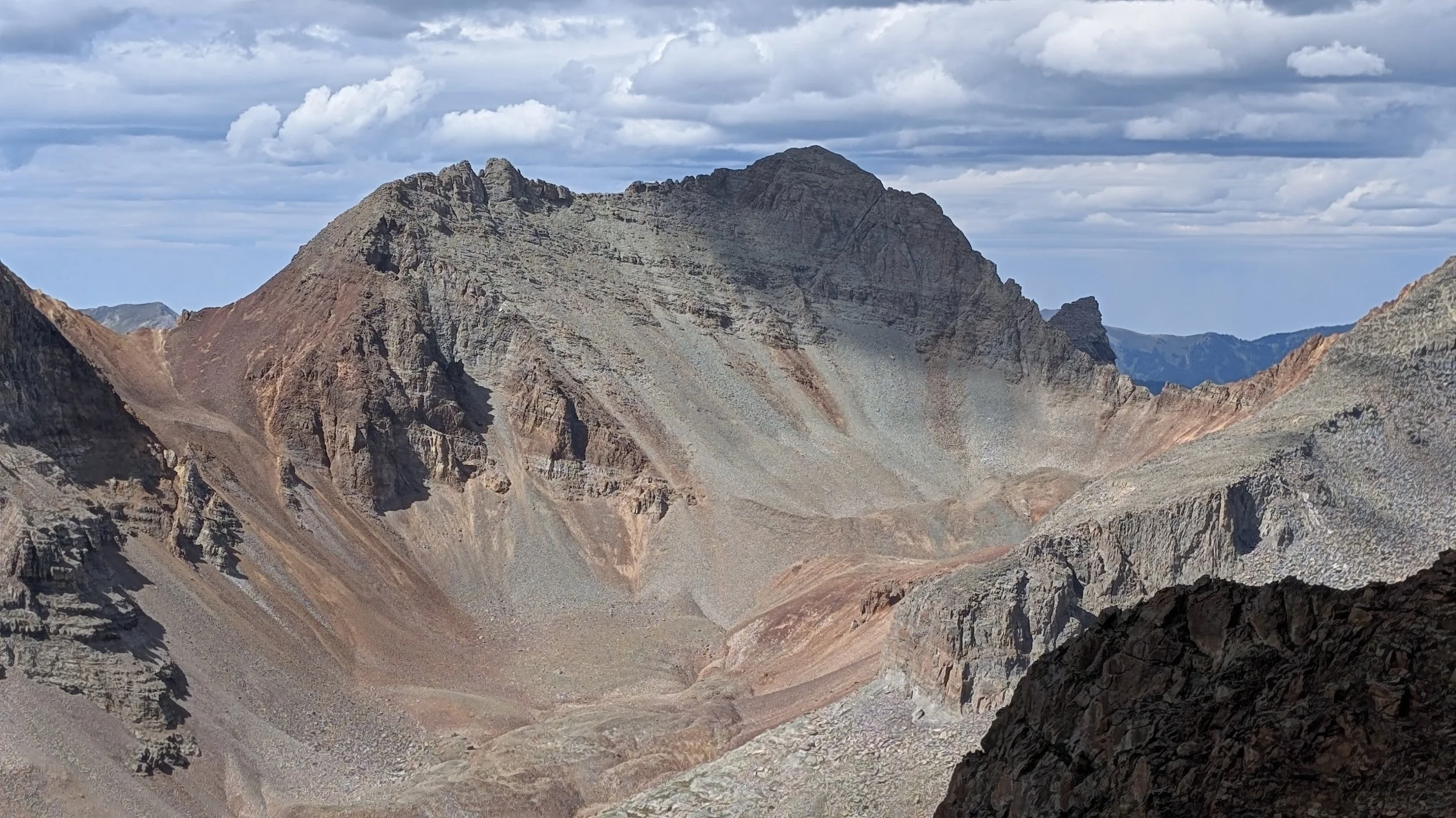
"V 10" (13,480')
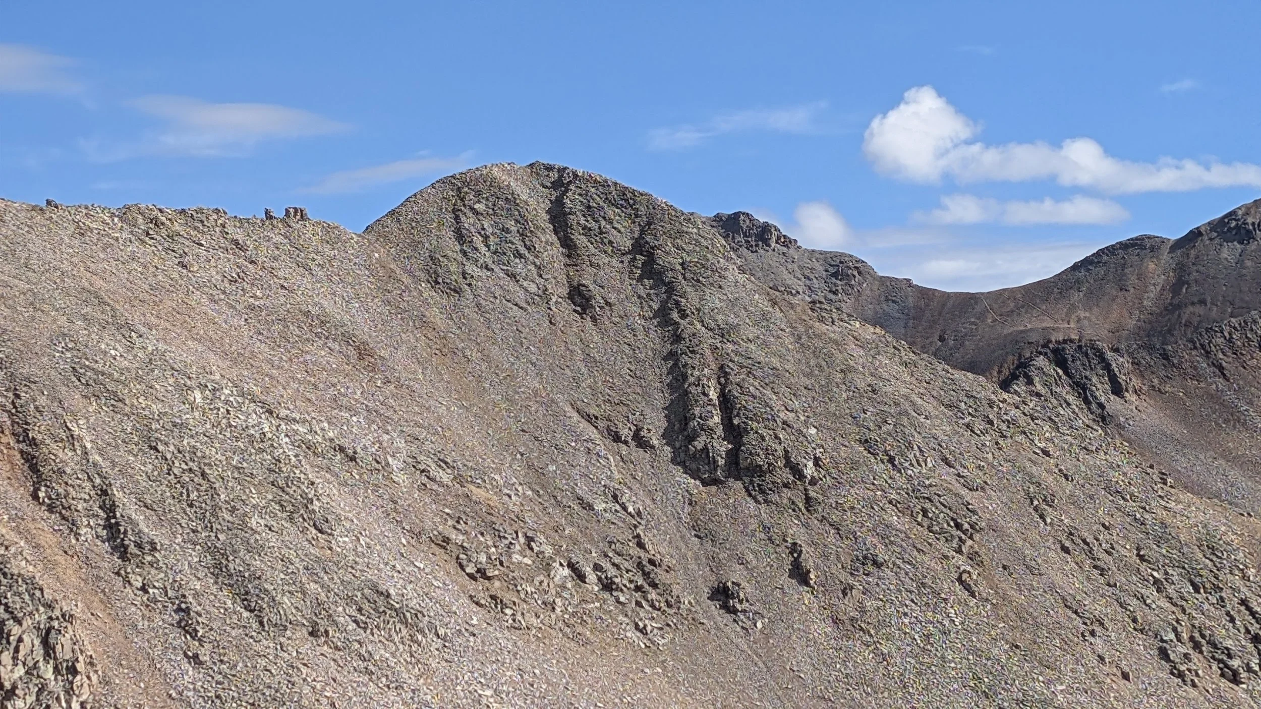
Unnamed 13,302' (sometimes referred to as "V8")
A short video of inside a mining cabin located at an unnamed ‘gold occurance.’
Regina was having some stomach issues and felt sick all morning. But, she persevered and stuck with it. The trail leading up to Hope Pass was easy to follow and pretty. We didn’t hike to the pass. Near the upper basin, we left the trail and went cross-country towards a 700 foot tundra slope that ended near the cliffs we needed to scale in order to gain access to the upper ridge.
Climbing through the cliffs wasn’t difficult. But the ramp we took was exceedingly loose, covered with dirt, ‘kitty-litter’ scree and larger talus that was just itching to move. Class 2+, maybe class 3 at its worst. I was surprised at how well this ramp actually worked to get through the cliffs. So, thanks to Tim Cooney for this route.
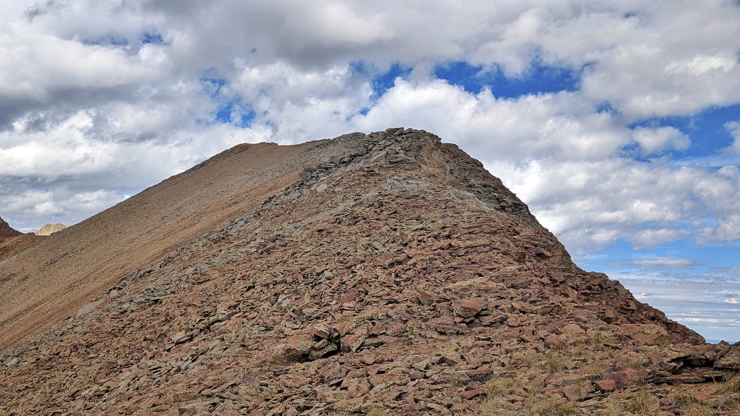
The summit of “V9”
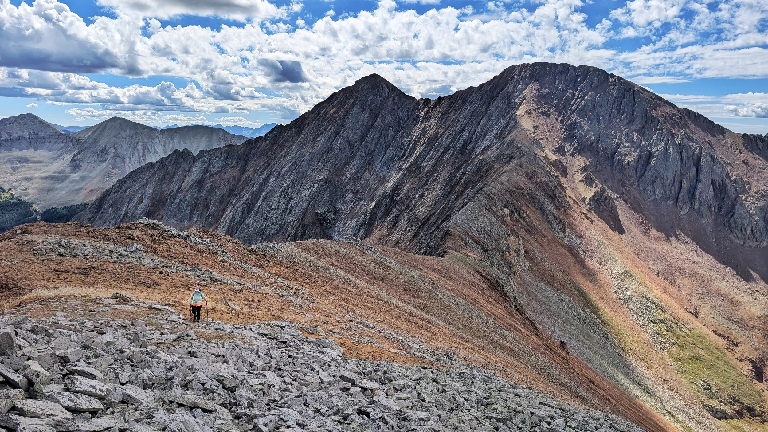
Couple of tidbits: Anytime a peak or mountain name exists in quotation marks, usually means it’s an unofficial name. Something that used to refer to that landmark by the masses but not officially recognized by the USGS. And the odd peak names using, “V“ or “T” or “N” or “U” refers in these cases to, “Vermilion,” “Telluride,” “Needles” and “Uncompahgre.”
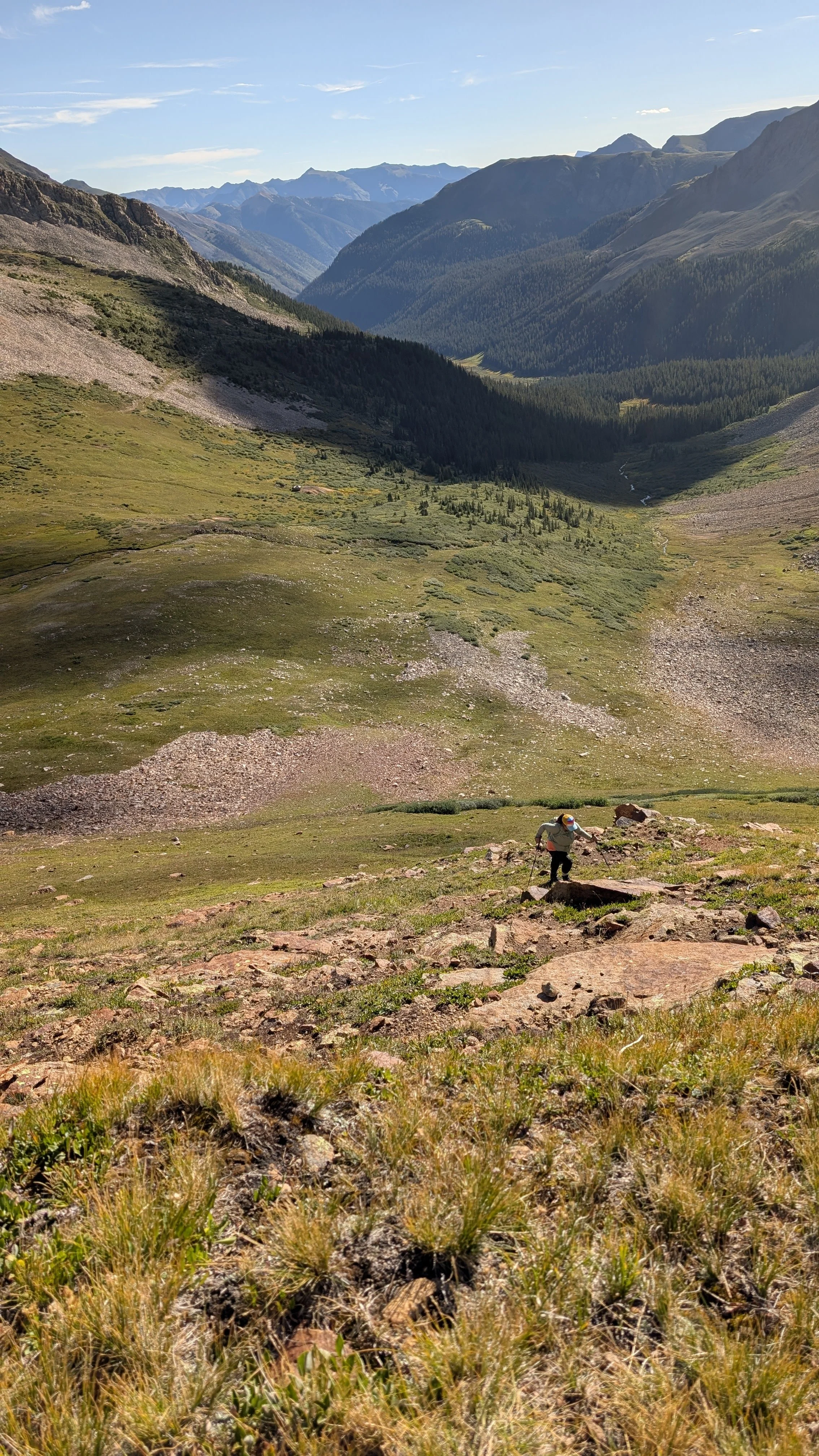
Starting up the tundra slope
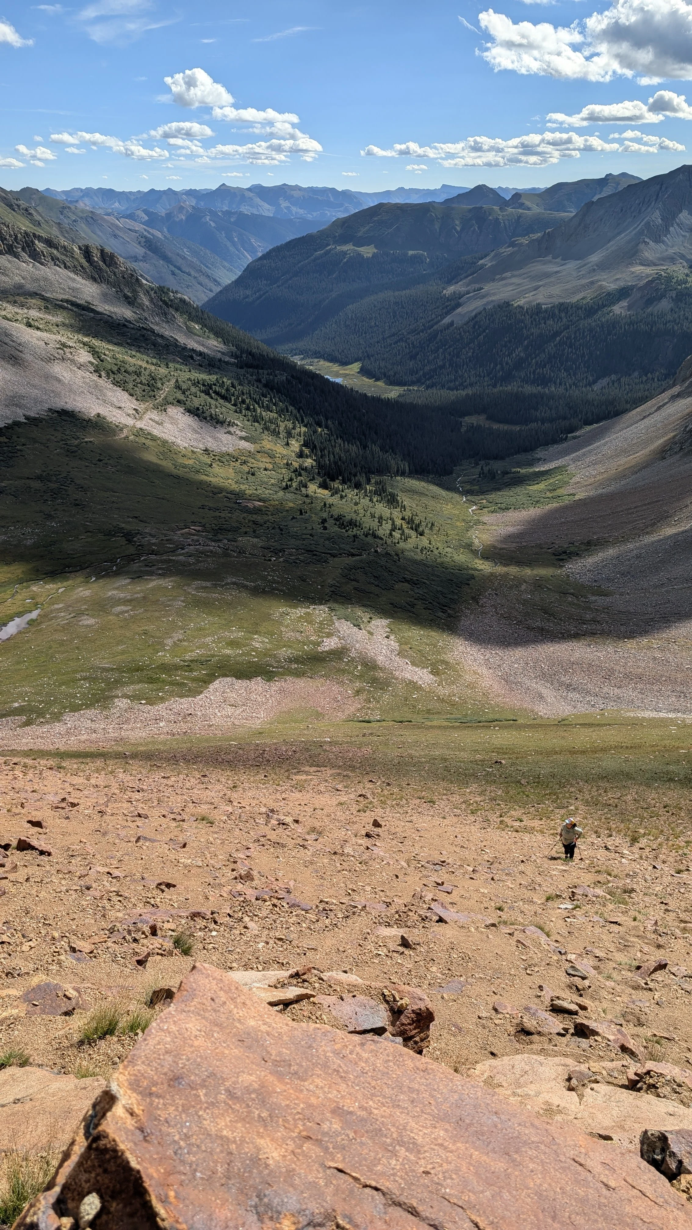
Nearing the cliffs. Regina trudging up the slope.
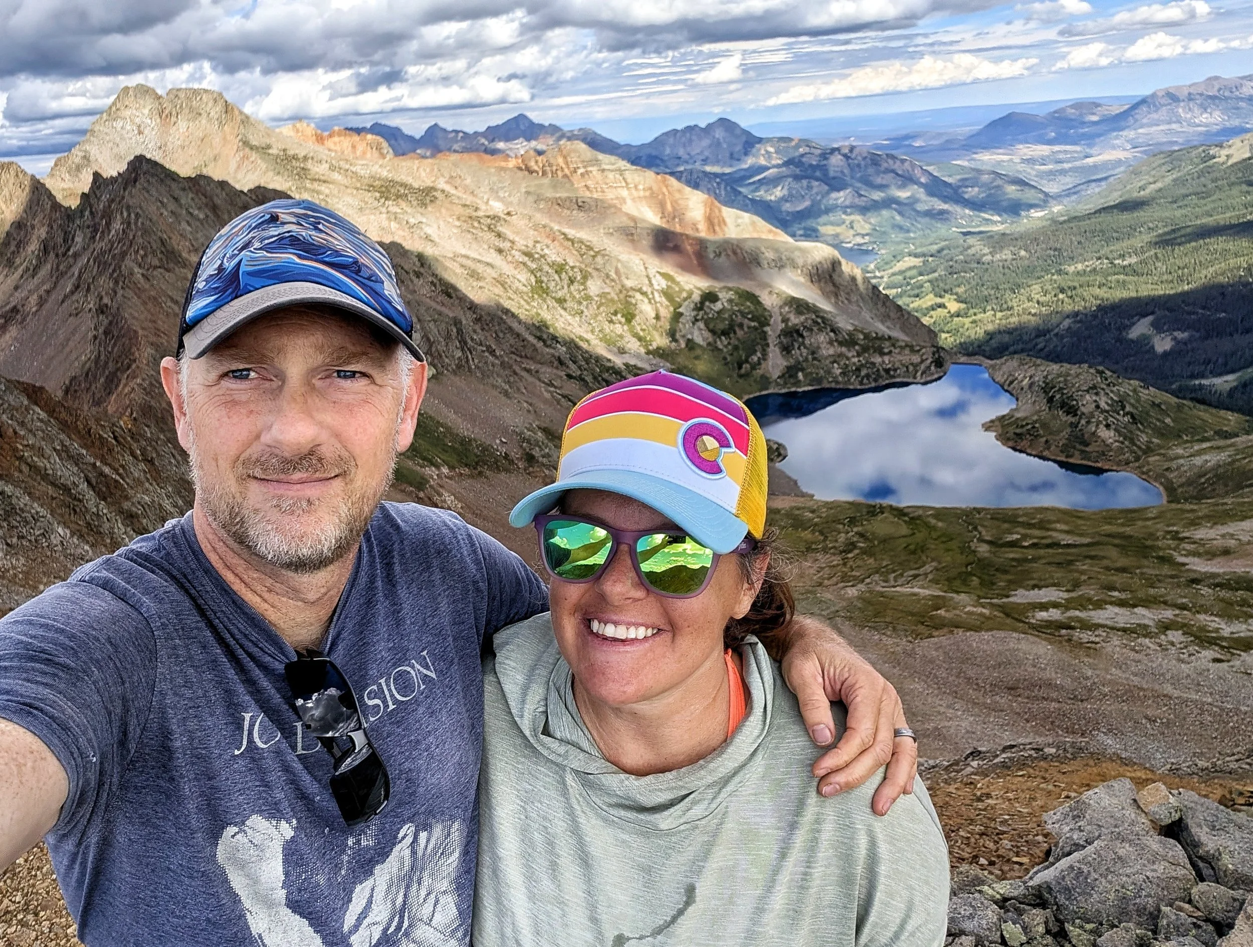
Our summit selfie. We didn’t stay long on the summit. While the clouds weren’t coalescing yet, some patches were big (and getting bigger) and were forming dark bottoms. So we kept our summit stay to about 15 minutes.
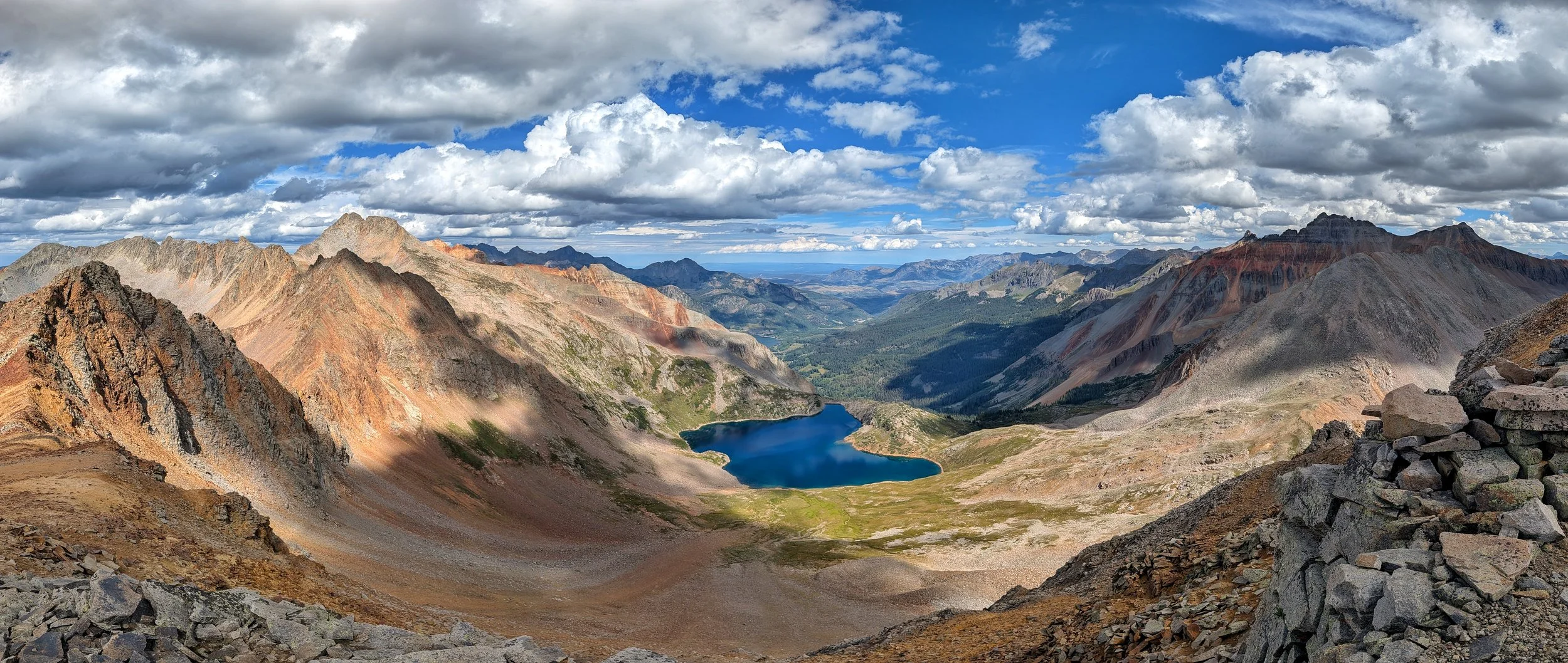
For a ‘meh’ kind of peak, it had some of the best views I’ve seen in the San Juans in a good, long while.
At the Bandora Mine
Miners excavated gold, copper and lead.
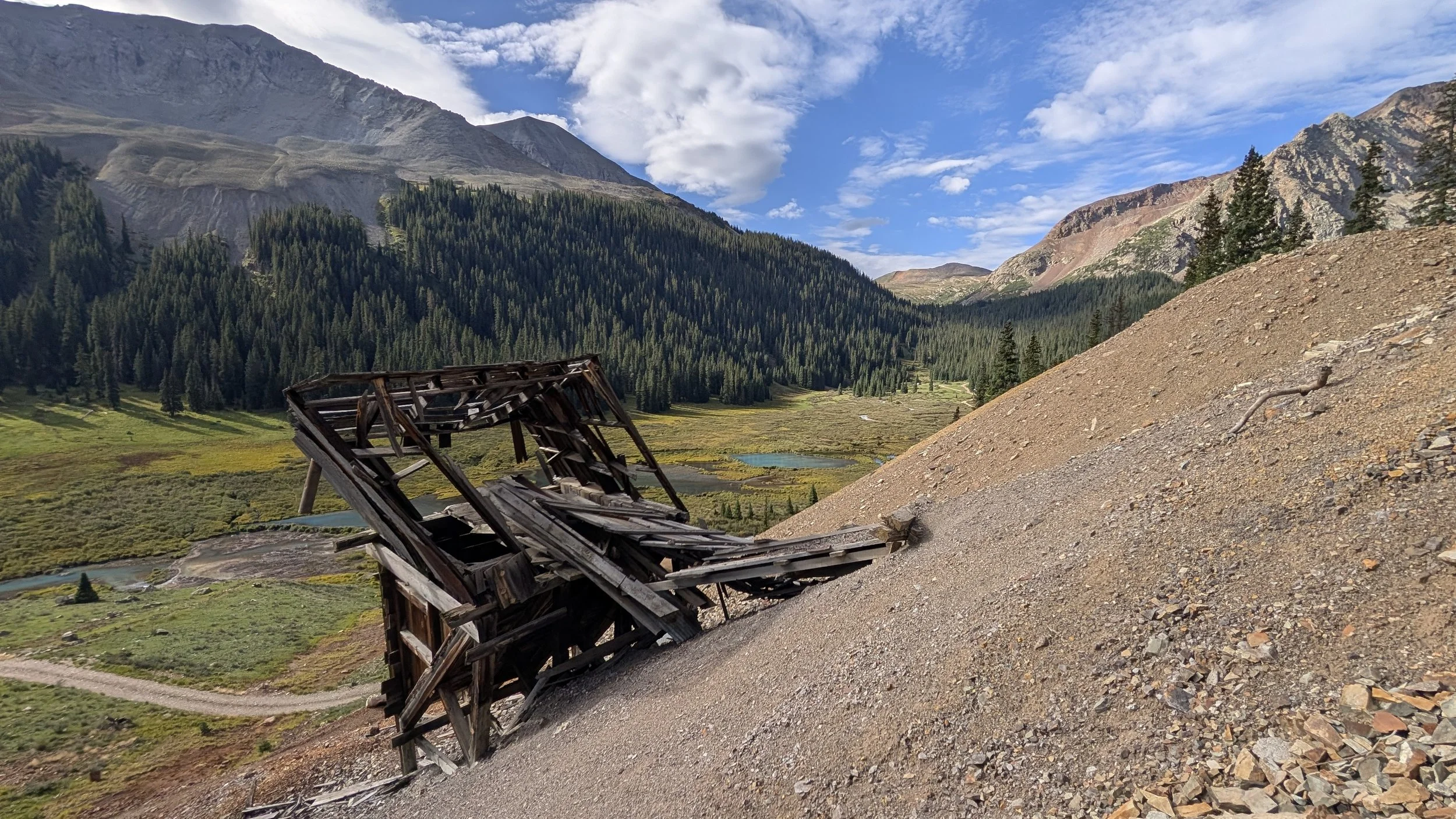
The Bandora Mine and lower Mineral Creek Valley
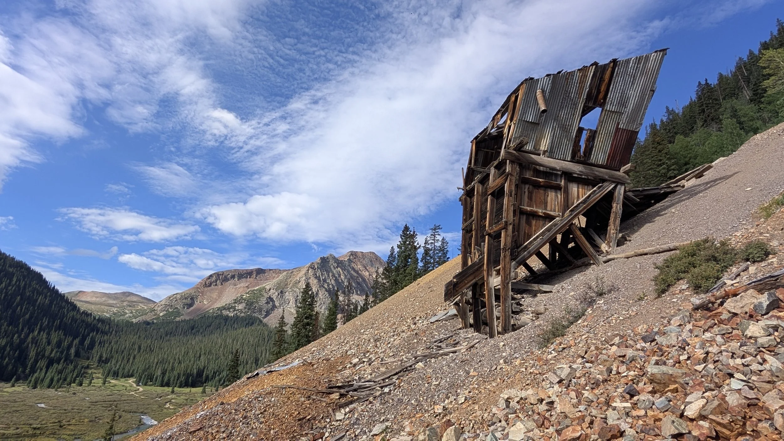
Bandora Mine
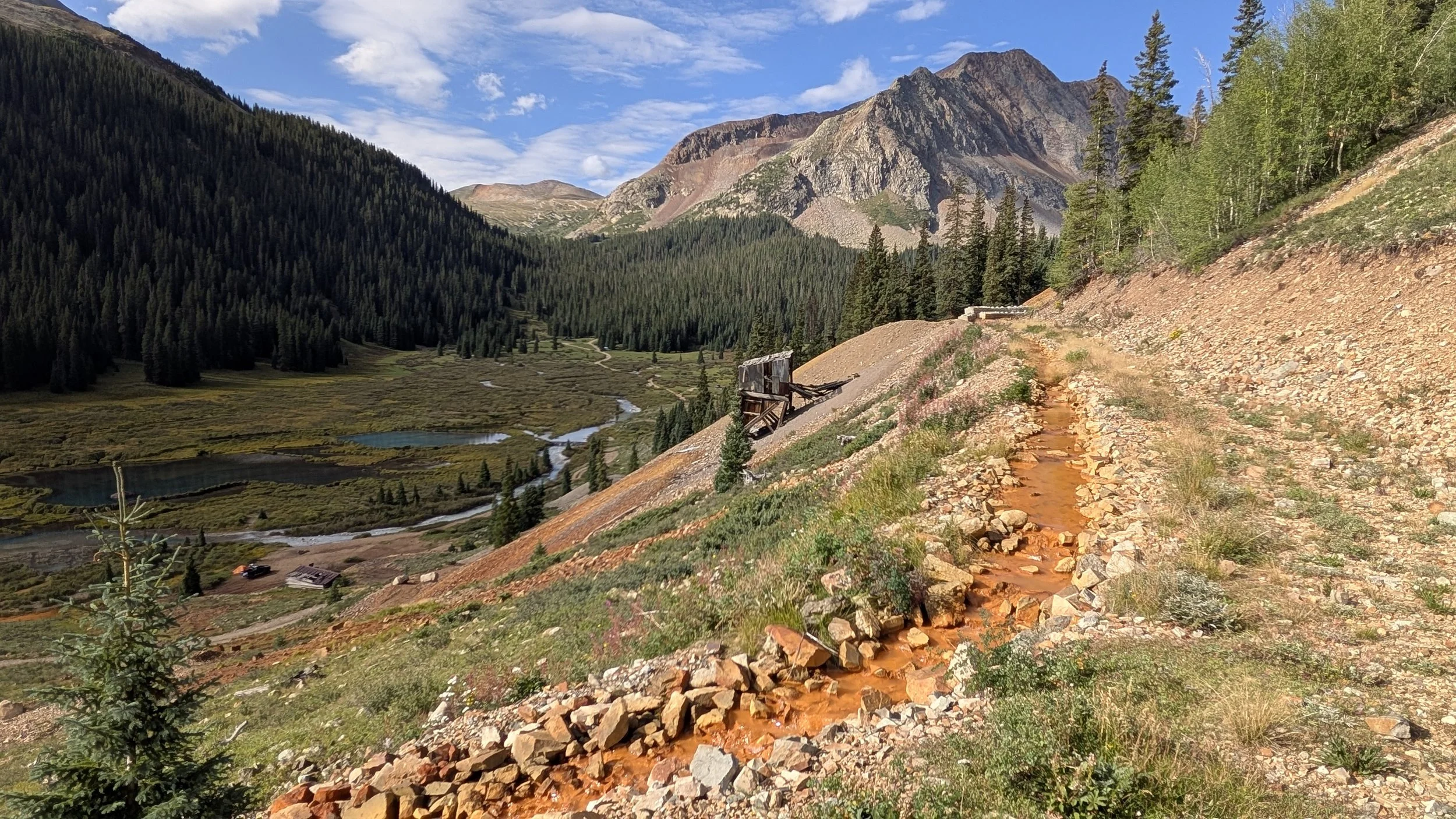
A ditch that was intentionally dug (probably by BOR) to allow water seepage from the mine into Mineral Creek. Heavy metals anyone?
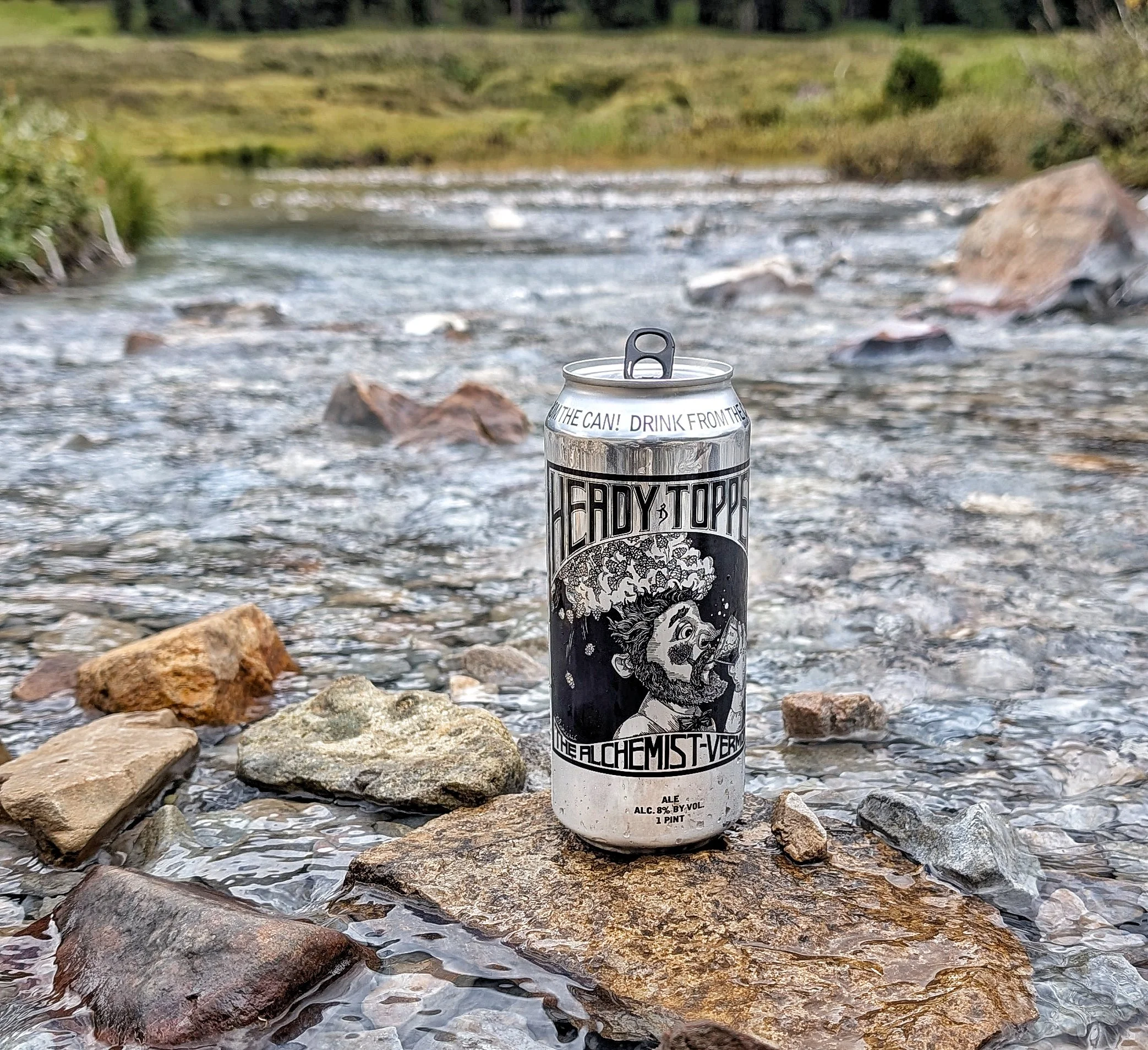
Enjoying an awesome beer back at camp.